


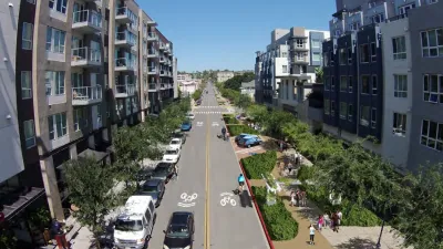
Zak Stone spotlights a new app being tested in Germany that can predict and prevent traffic jams, and promises to reduce CO2 emissions in the process.
The new app for Windows Phones, called Greenway,
works by plugging "its users' locations,
destinations, and speeds into an algorithm to figure out where and when
traffic jams are likely to occur. Then, it provides a route to steer
cars away from those roads. The route is called, appopriately [sic], the
"Greenway," and it's optimized for traffic, time, and the amount of gas
used based on data about where other drivers are headed at the same
time."
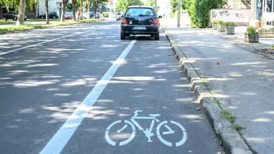
According to Stone, "One of the more interesting parts of the app is the business model. The
app is free to use, but users who select the Greenway route will pay a
small fee for the insider information: five percent of the cost of fuel
they'll save by taking the Greenway, but never more than 30 cents per
route. If it takes users longer than it should to get to their
desintation [sic], the information is on the house."
There is one catch, however: "The founders estimate that for the app to truly be effective, they'd
need to get at least 10 percent of a city's drivers on board."
FULL STORY: An App that Sees and Prevents Future Traffic Jams

San Diego Swaps Parking Lane for Kid-Friendly Mini Park
The block-long greenway will feature interactive play equipment and landscaping.
New App Pays Users to Report Illegally Parked Cars
A Swedish company is leveraging the power of crowdsourcing and the gig economy to enforce parking laws.
Planning for Congestion Relief
The third and final installment of Planetizen's examination of the role of the planning profession in both perpetuating and solving traffic congestion.

Alabama: Trump Terminates Settlements for Black Communities Harmed By Raw Sewage
Trump deemed the landmark civil rights agreement “illegal DEI and environmental justice policy.”

Planetizen Federal Action Tracker
A weekly monitor of how Trump’s orders and actions are impacting planners and planning in America.

The 120 Year Old Tiny Home Villages That Sheltered San Francisco’s Earthquake Refugees
More than a century ago, San Francisco mobilized to house thousands of residents displaced by the 1906 earthquake. Could their strategy offer a model for the present?

Ken Jennings Launches Transit Web Series
The Jeopardy champ wants you to ride public transit.

BLM To Rescind Public Lands Rule
The change will downgrade conservation, once again putting federal land at risk for mining and other extractive uses.

Indy Neighborhood Group Builds Temporary Multi-Use Path
Community members, aided in part by funding from the city, repurposed a vehicle lane to create a protected bike and pedestrian path for the summer season.
Urban Design for Planners 1: Software Tools
This six-course series explores essential urban design concepts using open source software and equips planners with the tools they need to participate fully in the urban design process.
Planning for Universal Design
Learn the tools for implementing Universal Design in planning regulations.
Clanton & Associates, Inc.
Jessamine County Fiscal Court
Institute for Housing and Urban Development Studies (IHS)
City of Grandview
Harvard GSD Executive Education
Toledo-Lucas County Plan Commissions
Salt Lake City
NYU Wagner Graduate School of Public Service