


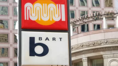
The inconsistent signage, representing 26 different public transportation systems in the Bay Area, leaves many riders feeling lost. Julie Caine describes the confusion and improvements underway.
When Transportation Nation reporter, Julie Caine, finds Hattam Moktor he is standing near an empty station agent's booth trying to make sense of the transit system. Together they examine his map and get him pointed in the right direction, but it's no easy task distinguishing the various train and bus systems that connect San Francisco.
Users of this system, however, will be pleased to learn that the Metropolitan Transportation Commission (MTC) has committed to updating transit signage throughtout the area. Caine visits with Sue Labouvie, the graphic designer charged with redesigning the Bay Area's wayfinding system. Labouvie describes the value of consistent wayfinding designs: "It is all about reducing stress, increasing clarity." The next few months should bring some clarity to riders as the new signage appears across the area.
Thanks to Jessica Brent
FULL STORY: In the Bay Area, Transit Signs are Surprisingly Poor

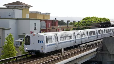
BART Closes $35 Million Deficit
Cost control and revenue generation measures prevented service cuts.
Bay Area Proposal Calls for Combined Transit Agencies
A local legislator is asking for a plan to consolidate the region’s 27 separate transit agencies to improve financial stability and streamline service for riders.
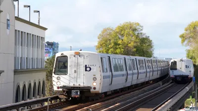
California Bill Would Mandate Seamless Transit
With 27 transit agencies, traveling across the Bay Area can be a daunting task. Advocates for 'seamless transit' want to change that.

Alabama: Trump Terminates Settlements for Black Communities Harmed By Raw Sewage
Trump deemed the landmark civil rights agreement “illegal DEI and environmental justice policy.”

Planetizen Federal Action Tracker
A weekly monitor of how Trump’s orders and actions are impacting planners and planning in America.

The 120 Year Old Tiny Home Villages That Sheltered San Francisco’s Earthquake Refugees
More than a century ago, San Francisco mobilized to house thousands of residents displaced by the 1906 earthquake. Could their strategy offer a model for the present?

Ken Jennings Launches Transit Web Series
The Jeopardy champ wants you to ride public transit.

BLM To Rescind Public Lands Rule
The change will downgrade conservation, once again putting federal land at risk for mining and other extractive uses.

Indy Neighborhood Group Builds Temporary Multi-Use Path
Community members, aided in part by funding from the city, repurposed a vehicle lane to create a protected bike and pedestrian path for the summer season.
Urban Design for Planners 1: Software Tools
This six-course series explores essential urban design concepts using open source software and equips planners with the tools they need to participate fully in the urban design process.
Planning for Universal Design
Learn the tools for implementing Universal Design in planning regulations.
Clanton & Associates, Inc.
Jessamine County Fiscal Court
Institute for Housing and Urban Development Studies (IHS)
City of Grandview
Harvard GSD Executive Education
Toledo-Lucas County Plan Commissions
Salt Lake City
NYU Wagner Graduate School of Public Service