


Gary Toth considers the damage to the quality of our streets and urban environments caused by the use of travel projection models and Levels of Service (LOS) as performance metrics.
Toth explains how the current reliance on these metrics, aimed at reducing or avoiding congestion, came about, and notes that, "In ridding our communities of the weeds of congestion, we have also pulled out the very plants that made our "gardens" worthwhile in the first place."
According to Toth, overdesigned roads, resulting from a "self-imposed" requirement to maintain high levels of service at the busiest hours (and often for 20 years into the future), "encourage motorists to drive at higher speeds, making them difficult to cross and unpleasant to walk along. This degrades public spaces between the edges of the road and the adjacent buildings, encourages people to drive short distances, and generally unravels a community's social fabric.
Thankfully, "Recognizing the need for balance, a number of entities are beginning to promote approaches sensitive to the context," writes Toth, who goes on to describe such efforts.
FULL STORY: Levels of Service and Travel Projections: The Wrong Tools for Planning Our Streets?

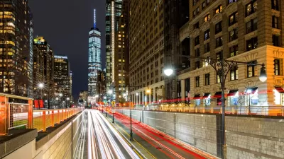
NYC Congestion Pricing Under Threat — Again
President Trump is attempting to make good on a campaign promise to kill New York City’s congestion pricing program, but the mechanism for ending it remains unclear.
US Street Design Manual Inches Toward Safer Roads
The guiding document for U.S. road design is starting to recognize the needs of people walking and biking, but safe streets advocates say more significant changes are needed to reduce the high number of pedestrian deaths and improve connectivity for all road users.
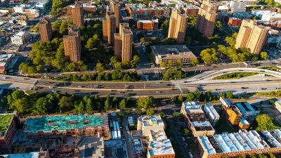
Critics Say New York Highway Expansion Plans Oppose Climate Goals
Plans to widen some roads are drawing backlash from transit advocates who say they will lead to an increase in congestion and truck traffic.

Alabama: Trump Terminates Settlements for Black Communities Harmed By Raw Sewage
Trump deemed the landmark civil rights agreement “illegal DEI and environmental justice policy.”

Planetizen Federal Action Tracker
A weekly monitor of how Trump’s orders and actions are impacting planners and planning in America.

The 120 Year Old Tiny Home Villages That Sheltered San Francisco’s Earthquake Refugees
More than a century ago, San Francisco mobilized to house thousands of residents displaced by the 1906 earthquake. Could their strategy offer a model for the present?

Indy Neighborhood Group Builds Temporary Multi-Use Path
Community members, aided in part by funding from the city, repurposed a vehicle lane to create a protected bike and pedestrian path for the summer season.

Congestion Pricing Drops Holland Tunnel Delays by 65 Percent
New York City’s contentious tolling program has yielded improved traffic and roughly $100 million in revenue for the MTA.

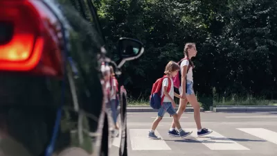
In Both Crashes and Crime, Public Transportation is Far Safer than Driving
Contrary to popular assumptions, public transportation has far lower crash and crime rates than automobile travel. For safer communities, improve and encourage transit travel.
Urban Design for Planners 1: Software Tools
This six-course series explores essential urban design concepts using open source software and equips planners with the tools they need to participate fully in the urban design process.
Planning for Universal Design
Learn the tools for implementing Universal Design in planning regulations.
Clanton & Associates, Inc.
Jessamine County Fiscal Court
Institute for Housing and Urban Development Studies (IHS)
City of Grandview
Harvard GSD Executive Education
Toledo-Lucas County Plan Commissions
Salt Lake City
NYU Wagner Graduate School of Public Service