


John Pavlus reports on Eric Fischer's use of Twitter's geotagging feature to map the most highly trafficked thoroughfares in several cities. The results are fascinating, and beautiful.
According to Pavlus, besides being artfully rendered, Fischer's visualizations of geotagged tweets, "amount to something close to a desire path on a macro scale: The maps show where our buses and subways should be, if they conformed to the way we actually move and live."
Although the stark black and white maps certainly reflect some structure of the city, without a more detailed explanation of the methodology involved in their creation, it's still unclear what the direct correlation is to transit.
FULL STORY: Infographic Of The Day: Could Twitter Help Us Create Smarter Transit Routes?


Is Twitter Still an Effective Planning Tool?
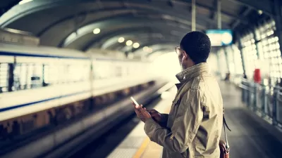
Twitter has been a daily dose of drama and upheaval ever since Elon Musk offered to pay over $40 billion to buy the social media platform. Media outlets and public transit agencies had been abandoning the social media platform—should planners?
Transit Agencies Could Lose Access to Twitter Updates
Twitter announced it would start charging for access to its API, which many transit and government agencies rely on to provide real-time service updates.
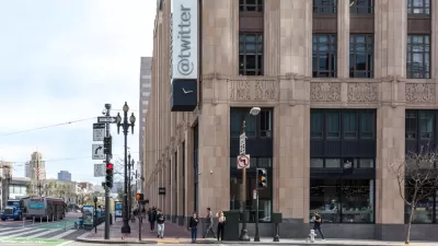
City Requiring Permits for Twitter’s Dystopian Office Bedrooms
After a Forbes article revealed dozens of makeshift sleeping areas in Twitter’s downtown San Francisco offices, the city is asking the company to file for permits if they want to keep them.

Alabama: Trump Terminates Settlements for Black Communities Harmed By Raw Sewage
Trump deemed the landmark civil rights agreement “illegal DEI and environmental justice policy.”

Planetizen Federal Action Tracker
A weekly monitor of how Trump’s orders and actions are impacting planners and planning in America.

The 120 Year Old Tiny Home Villages That Sheltered San Francisco’s Earthquake Refugees
More than a century ago, San Francisco mobilized to house thousands of residents displaced by the 1906 earthquake. Could their strategy offer a model for the present?

Ken Jennings Launches Transit Web Series
The Jeopardy champ wants you to ride public transit.

BLM To Rescind Public Lands Rule
The change will downgrade conservation, once again putting federal land at risk for mining and other extractive uses.

Indy Neighborhood Group Builds Temporary Multi-Use Path
Community members, aided in part by funding from the city, repurposed a vehicle lane to create a protected bike and pedestrian path for the summer season.
Urban Design for Planners 1: Software Tools
This six-course series explores essential urban design concepts using open source software and equips planners with the tools they need to participate fully in the urban design process.
Planning for Universal Design
Learn the tools for implementing Universal Design in planning regulations.
Clanton & Associates, Inc.
Jessamine County Fiscal Court
Institute for Housing and Urban Development Studies (IHS)
City of Grandview
Harvard GSD Executive Education
Toledo-Lucas County Plan Commissions
Salt Lake City
NYU Wagner Graduate School of Public Service