


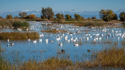
The Environmental Protection Agency is crowdsourcing a massive photo project to update a 40-year old agency project known as 'Documerica', which includes images of American environmental problems and everyday life.
"Challenges from US government agencies are all the rage these days and the Environmental Protection Agency today became the latest group to issue one: Take cool pictures of your surrounding environment to become part of historical record," writes Michael Cooney.
The EPA asks the public to "Choose an original Documerica photo either from the ones we post for each challenge or one you find yourself. Go to the location where that Documerica photo was taken, possibly even the exact spot where that photographer stood to take the photo 40-odd years ago, and 're-take' a current photo of the same scene. Read more about the photo on Flickr, for additional clues about location or subject matter that might help you. If the challenge includes more than one Documerica photo, choose one or as many as you like. The EPA will select photos that best show the new 'after' view of the same original 'before' Documerica photo."
For the Documerica Project (1971-1977), the Environmental Protection Agency (EPA) hired freelance photographers to capture images relating to environmental problems, EPA activities, and everyday life in the 1970s. Photos can be found on Flickr.
FULL STORY: Previous Article Next Article EPA wants your environment pictures, issues public photo challenge


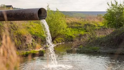
EPA Terminates $116 Million in Grants for Reducing Emissions from Construction Materials
C-MORE grants were earmarked for industry trade groups and universities.
California Lawmakers Move to Protect Waterways
Anticipating that the Trump EPA will reinstate a 2017 policy that excluded seasonal wetlands and waterways from environmental protections.
Supreme Court Could Curb EPA’s Water Quality Regulation Powers
A suit brought by the city of San Francisco argues that the agency’s language around water treatment and discharge is too vague and imposes retroactive penalties.

Alabama: Trump Terminates Settlements for Black Communities Harmed By Raw Sewage
Trump deemed the landmark civil rights agreement “illegal DEI and environmental justice policy.”

Planetizen Federal Action Tracker
A weekly monitor of how Trump’s orders and actions are impacting planners and planning in America.

The 120 Year Old Tiny Home Villages That Sheltered San Francisco’s Earthquake Refugees
More than a century ago, San Francisco mobilized to house thousands of residents displaced by the 1906 earthquake. Could their strategy offer a model for the present?

Ken Jennings Launches Transit Web Series
The Jeopardy champ wants you to ride public transit.

BLM To Rescind Public Lands Rule
The change will downgrade conservation, once again putting federal land at risk for mining and other extractive uses.

Indy Neighborhood Group Builds Temporary Multi-Use Path
Community members, aided in part by funding from the city, repurposed a vehicle lane to create a protected bike and pedestrian path for the summer season.
Urban Design for Planners 1: Software Tools
This six-course series explores essential urban design concepts using open source software and equips planners with the tools they need to participate fully in the urban design process.
Planning for Universal Design
Learn the tools for implementing Universal Design in planning regulations.
Clanton & Associates, Inc.
Jessamine County Fiscal Court
Institute for Housing and Urban Development Studies (IHS)
City of Grandview
Harvard GSD Executive Education
Toledo-Lucas County Plan Commissions
Salt Lake City
NYU Wagner Graduate School of Public Service