


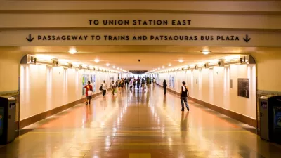
At the Automated Traffic Surveillance and Control center (ATSAC) near City Hall in Los Angeles, a team of engineers watches traffic flow all over the city, sucking in tons of data to improve transit and automotive circulation.
Ryan Bradley of GOOD pays a visit to ATSAC, which he says resembles the command centers one sees in movies and TV.
He writes, "ATSAC was created for two reasons. First, to adjust traffic signals in real time to respond to events that may cause congestion, like a car accident or a Lakers championship. Before ATSAC, the Department of Transportation had to send someone out into the field to adjust traffic signals. Now, these adjustments can be made throughout the city from this underground bunker next to City Hall, by those men watching those 16 screens, as thousands of cameras trained on thousands of intersections record the goings-on on the streets above."
The second goal of ATSAC, as Bradley points out, is to collect reams of data that can then be used to understand how traffic flows and where it can be improved.
Here's the the official page of ATSAC.
FULL STORY: Mark it good Walking in L.A.: The Data Driven City

Can LA Achieve a ‘No-Car’ Olympics?
The city’s mayor promises all Olympic venues will be reachable by transit, but the city’s ability to finish its transit projects on time is coming into question.
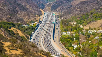
Congestion Pricing Could Be Coming to L.A.
The infamously car-centric city is weighing a proposed congestion pricing pilot program to reduce traffic and encourage public transit use.
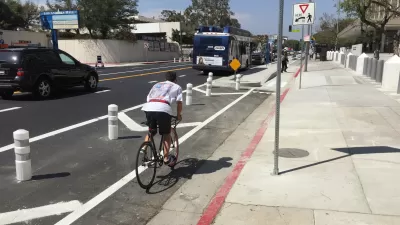
Opinion: Los Angeles Must Prioritize Bikes and Buses
L.A. has a plan for improving mobility. Why are city leaders ignoring it?

Alabama: Trump Terminates Settlements for Black Communities Harmed By Raw Sewage
Trump deemed the landmark civil rights agreement “illegal DEI and environmental justice policy.”

Planetizen Federal Action Tracker
A weekly monitor of how Trump’s orders and actions are impacting planners and planning in America.

The 120 Year Old Tiny Home Villages That Sheltered San Francisco’s Earthquake Refugees
More than a century ago, San Francisco mobilized to house thousands of residents displaced by the 1906 earthquake. Could their strategy offer a model for the present?

Opinion: California’s SB 79 Would Improve Housing Affordability and Transit Access
A proposed bill would legalize transit-oriented development statewide.

Record Temperatures Prompt Push for Environmental Justice Bills
Nevada legislators are proposing laws that would mandate heat mitigation measures to protect residents from the impacts of extreme heat.

Downtown Pittsburgh Set to Gain 1,300 New Housing Units
Pittsburgh’s office buildings, many of which date back to the early 20th century, are prime candidates for conversion to housing.
Urban Design for Planners 1: Software Tools
This six-course series explores essential urban design concepts using open source software and equips planners with the tools they need to participate fully in the urban design process.
Planning for Universal Design
Learn the tools for implementing Universal Design in planning regulations.
Clanton & Associates, Inc.
Jessamine County Fiscal Court
Institute for Housing and Urban Development Studies (IHS)
City of Grandview
Harvard GSD Executive Education
Toledo-Lucas County Plan Commissions
Salt Lake City
NYU Wagner Graduate School of Public Service