


Hoboken, New Jersey, is leveraging technology to up its curb management game with a digital streetscape map that will allow real-time demand monitoring.
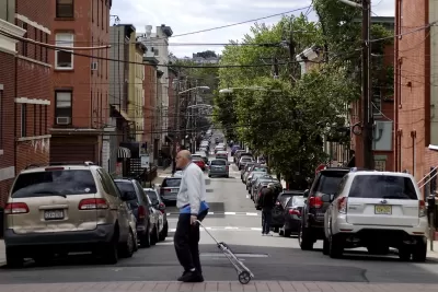
Transportation officials in Hoboken, New Jersey — a suburb of New York City — are digitizing their curbs into a real-time, digital city map. According to an article by Skip Descant in Government Technology, the effort is part of a project called The Curb Reimagined, a joint effort between the city, transportation tech platform Populus, and urban design firm Kimley-Horn.
The overall goal of the project is to transition the “streetscape from static, inflexible uses to more dynamic places capable of adjusting quickly,” Descant writes. “The end result should be a multidimensional map layered with details relevant to curbside problems like congestion and double parking, and to handling competitors for curb space like deliveries, ride-hailing and micromobility.”
Hoboken joins other cities like Seattle and Portland, Oregon, using digital tools to solve pain points and work to meet various city priorities, from parking to emissions goals.
“The project in Hoboken will enable the city to integrate and compare real-time parking data against curbside demand and revenue, a Populus leader said. The development of a database that includes curb and parking regulations will be part of a process known as “coding the city’s curbs,” creating information that can be digitally communicated with the city’s fleets,” Descant reports. The digital curb map will also be made public to keep residents and businesses informed.
FULL STORY: Curbs in Hoboken, N.J., Get Ready to Be ‘Reimagined’

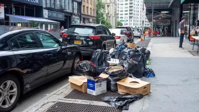
NYC Launches ‘Smart Curbs’ Program
The pilot program on the Upper West Side will remove some curbside parking spots to replace them with public seating, bike racks, and delivery zones.
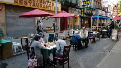
NYC Losing Many Outdoor Dining Areas Due to Expensive New Regulations
Restaurant owners say the city’s new outdoor dining program makes it too difficult and expensive to operate al fresco setups.
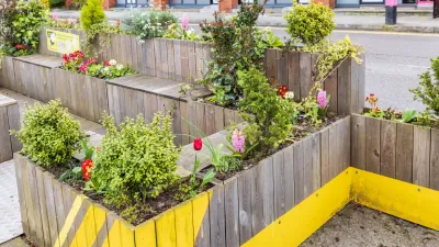
Parklet Symposium Highlights the Success of Shared Spaces
Parklets got a boost during the Covid-19 pandemic, when the concept was translated to outdoor dining programs that offered restaurants a lifeline during the shutdown.

Alabama: Trump Terminates Settlements for Black Communities Harmed By Raw Sewage
Trump deemed the landmark civil rights agreement “illegal DEI and environmental justice policy.”

Planetizen Federal Action Tracker
A weekly monitor of how Trump’s orders and actions are impacting planners and planning in America.

How Atlanta Built 7,000 Housing Units in 3 Years
The city’s comprehensive, neighborhood-focused housing strategy focuses on identifying properties and land that can be repurposed for housing and encouraging development in underserved neighborhoods.

In Both Crashes and Crime, Public Transportation is Far Safer than Driving
Contrary to popular assumptions, public transportation has far lower crash and crime rates than automobile travel. For safer communities, improve and encourage transit travel.

Report: Zoning Reforms Should Complement Nashville’s Ambitious Transit Plan
Without reform, restrictive zoning codes will limit the impact of the city’s planned transit expansion and could exclude some of the residents who depend on transit the most.

Judge Orders Release of Frozen IRA, IIJA Funding
The decision is a victory for environmental groups who charged that freezing funds for critical infrastructure and disaster response programs caused “real and irreparable harm” to communities.
Urban Design for Planners 1: Software Tools
This six-course series explores essential urban design concepts using open source software and equips planners with the tools they need to participate fully in the urban design process.
Planning for Universal Design
Learn the tools for implementing Universal Design in planning regulations.
Caltrans
Smith Gee Studio
Institute for Housing and Urban Development Studies (IHS)
City of Grandview
Harvard GSD Executive Education
Toledo-Lucas County Plan Commissions
Salt Lake City
NYU Wagner Graduate School of Public Service