


A new map highlights prime downtown real estate that could be repurposed for more productive uses.
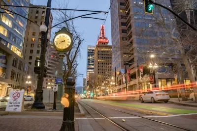
According to an article by Taylor Anderson in Building Salt Lake, almost a third of the Utah capital’s downtown is taken up by parking despite 2021 parking reforms that reduced the number of required parking spots for downtown developments.
“Researchers with the Parking Reform Network studied the area spanning roughly between North Temple and 900 South, 200 East to 500 West and found that 29 percent of the land is dedicated to parking,” Anderson explains.
“The city itself often appears to acknowledge car dominance, approving a nearly 1,000-car parking garage in the Granary District and undertaking several angled parking projects in lieu of cycle tracks, expanded sidewalks or other improvements that would encourage and promote walking and commuting by bike.”
Yet the land, PRN argues, could be more productively used for “parks, retail, housing, universities, daycares, bars, restaurants, churches, offices, assisted living facilities, hospitals, group homes, art galleries, museums, or a combination of it all.”
FULL STORY: Here’s how much of Downtown Salt Lake City is covered in car parking

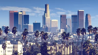
L.A. Reimagines Parking for New Uses
In famously car-centric Los Angeles, developers and city officials are changing the way they view parking space, opting instead to allocate the space to more effective uses.

Montana Bill Promotes Parking Reform
A bill before the Montana state senate would bar cities from requiring more than one parking spot per new housing unit.
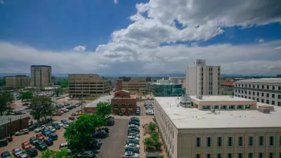
Denver Could Eliminate Parking Requirements
The city could remove parking mandates citywide to reduce the cost of housing construction and ease permitting for new projects.

Trump Administration Could Effectively End Housing Voucher Program
Federal officials are eyeing major cuts to the Section 8 program that helps millions of low-income households pay rent.

Planetizen Federal Action Tracker
A weekly monitor of how Trump’s orders and actions are impacting planners and planning in America.

Ken Jennings Launches Transit Web Series
The Jeopardy champ wants you to ride public transit.

Rebuilding Smarter: How LA County Is Guiding Fire-Ravaged Communities Toward Resilience
Los Angeles County is leading a coordinated effort to help fire-impacted communities rebuild with resilience by providing recovery resources, promoting fire-wise design, and aligning reconstruction with broader sustainability and climate goals.

When Borders Blur: Regional Collaboration in Action
As regional challenges outgrow city boundaries, “When Borders Blur” explores how cross-jurisdictional collaboration can drive smarter, more resilient urban planning, sharing real-world lessons from thriving partnerships across North America.

Philadelphia Is Expanding its Network of Roundabouts
Roundabouts are widely shown to decrease traffic speed, reduce congestion, and improve efficiency.
Urban Design for Planners 1: Software Tools
This six-course series explores essential urban design concepts using open source software and equips planners with the tools they need to participate fully in the urban design process.
Planning for Universal Design
Learn the tools for implementing Universal Design in planning regulations.
Ada County Highway District
Clanton & Associates, Inc.
Jessamine County Fiscal Court
Institute for Housing and Urban Development Studies (IHS)
City of Grandview
Harvard GSD Executive Education
Toledo-Lucas County Plan Commissions
Salt Lake City
NYU Wagner Graduate School of Public Service