


In a planning area encompassing Hamilton, Hendricks, Boone, Johnson, Morgan, Shelby and Hancock counties in Indiana, streets with no sidewalks outnumber streets with sidewalks by more than two to one.
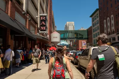
Kellie Hwang reports from Central Indiana, where a recently released a pedestrian infrastructure map in connection with an ongoing Regional Pedestrian Plan [pdf] effort lays out the pedestrian risk in and around the city of Indianapolis.
"On this map of Central Indiana, there's a collection of bright green lines in the center, with more scattered throughout. The rest of the map is a glaring web of bold, red angled lines protruding out of the Indianapolis metro area," reports Hwang.
Green indicates streets with existing sidewalks and other pedestrian infrastructure. Those kinds of streets total 1,704 miles in the region. "The red lines show 3,748 miles worth of gaps where pedestrian facilities don't exist, either on one side or both sides of the road," according to Hwang.
The Indianapolis Metropolitan Planning Organization published the map after a year and a half of into the Regional Pedestrian Plan, which updates the original version of the plan, completed in 2006.
FULL STORY: This map reveals a lack of pedestrian-safe infrastructure in Central Indiana

Making it Safer to Walk to Transit in Portland
TriMet, the regional transit agency in the Portland, Oregon area, this week launched a process for creating a new Pedestrian Plan.

Indianapolis Falls Short of 2018 Goal to End Long-Term Homelessness
The city’s progress in building supportive housing units has not kept up with the rising numbers of residents experiencing homelessness.
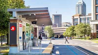
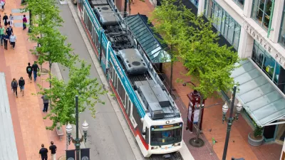
Indianapolis Receives FTA Grant for New BRT Line
The Blue Line will be the third bus rapid transit corridor in the city.

Alabama: Trump Terminates Settlements for Black Communities Harmed By Raw Sewage
Trump deemed the landmark civil rights agreement “illegal DEI and environmental justice policy.”

Planetizen Federal Action Tracker
A weekly monitor of how Trump’s orders and actions are impacting planners and planning in America.

The 120 Year Old Tiny Home Villages That Sheltered San Francisco’s Earthquake Refugees
More than a century ago, San Francisco mobilized to house thousands of residents displaced by the 1906 earthquake. Could their strategy offer a model for the present?

In Both Crashes and Crime, Public Transportation is Far Safer than Driving
Contrary to popular assumptions, public transportation has far lower crash and crime rates than automobile travel. For safer communities, improve and encourage transit travel.

Report: Zoning Reforms Should Complement Nashville’s Ambitious Transit Plan
Without reform, restrictive zoning codes will limit the impact of the city’s planned transit expansion and could exclude some of the residents who depend on transit the most.

Judge Orders Release of Frozen IRA, IIJA Funding
The decision is a victory for environmental groups who charged that freezing funds for critical infrastructure and disaster response programs caused “real and irreparable harm” to communities.
Urban Design for Planners 1: Software Tools
This six-course series explores essential urban design concepts using open source software and equips planners with the tools they need to participate fully in the urban design process.
Planning for Universal Design
Learn the tools for implementing Universal Design in planning regulations.
Clanton & Associates, Inc.
Jessamine County Fiscal Court
Institute for Housing and Urban Development Studies (IHS)
City of Grandview
Harvard GSD Executive Education
Toledo-Lucas County Plan Commissions
Salt Lake City
NYU Wagner Graduate School of Public Service