


The CityLab team has created a new metric to measure the U.S. cities where people are most likely to be car free.
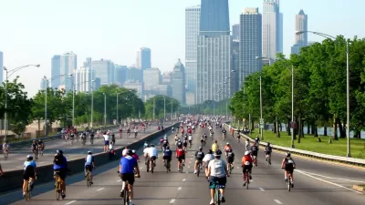
Richard Florida and Charlotta Mellander created a new Metro Car-Free Index that measures the U.S. cities where people go car free in the largest numbers.
According to Florida, who writes to promote the index on CityLab, the index measures:
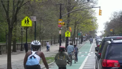
- The share of households that don’t have access to their own vehicle.
- The share of commuters who take transit to work.
- The share of commuters who bike to work.
- The share of commuters who walk to work.
Florida applies the index as an indicator of where it's easiest to go car free, listed by metro size. The duo's analysis also included a basic correlation analysis to identify the key characteristics associated with car-free metros. "The popularity of living without a car is only weakly related to population and density (with correlations of around .2)," according to Florida.
"Going car-free is much more closely related to America’s economic and political divides," adds Florida, so demographic factors like educational attainment, political affiliation. Florida concludes by noting another key factor in determining a car-free lifestyle: "Ironically, despite the expense of owning a car, going carless in America often requires having money. It helps if you can afford living close to where you work or near good transit, or in a walkable neighborhood with most of life’s necessities close by."
FULL STORY: The Best and Worst U.S. Places to Live Car-Free

Fewer New Yorkers Riding Bikes
A recent report presents evidence that fewer New Yorkers are choosing bikes as an alternative form of transportation.

The Cost of Driving Increasingly Out of Reach in the U.S.
New research stresses the importance of socioeconomic differences in U.S. transportation trends.
Report: D.C. Area Commuters Driving Alone Less
With all the bad news about plummeting ridership as the D.C. Metro transit system has struggled to deal with maintenance issues, a new report indicates that regional commuters are still driving alone less.

Alabama: Trump Terminates Settlements for Black Communities Harmed By Raw Sewage
Trump deemed the landmark civil rights agreement “illegal DEI and environmental justice policy.”

Planetizen Federal Action Tracker
A weekly monitor of how Trump’s orders and actions are impacting planners and planning in America.

The 120 Year Old Tiny Home Villages That Sheltered San Francisco’s Earthquake Refugees
More than a century ago, San Francisco mobilized to house thousands of residents displaced by the 1906 earthquake. Could their strategy offer a model for the present?

Indy Neighborhood Group Builds Temporary Multi-Use Path
Community members, aided in part by funding from the city, repurposed a vehicle lane to create a protected bike and pedestrian path for the summer season.

Congestion Pricing Drops Holland Tunnel Delays by 65 Percent
New York City’s contentious tolling program has yielded improved traffic and roughly $100 million in revenue for the MTA.

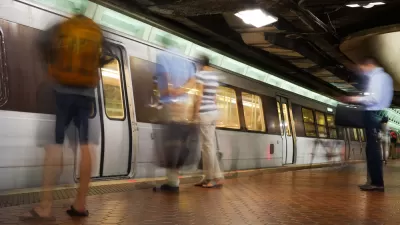
In Both Crashes and Crime, Public Transportation is Far Safer than Driving
Contrary to popular assumptions, public transportation has far lower crash and crime rates than automobile travel. For safer communities, improve and encourage transit travel.
Urban Design for Planners 1: Software Tools
This six-course series explores essential urban design concepts using open source software and equips planners with the tools they need to participate fully in the urban design process.
Planning for Universal Design
Learn the tools for implementing Universal Design in planning regulations.
Clanton & Associates, Inc.
Jessamine County Fiscal Court
Institute for Housing and Urban Development Studies (IHS)
City of Grandview
Harvard GSD Executive Education
Toledo-Lucas County Plan Commissions
Salt Lake City
NYU Wagner Graduate School of Public Service