


The new sensor technology gives riders up to a minute to drop, cover, and hold on.
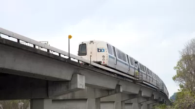
BART has rolled out a major upgrade to the alert system that automatically slows trains before an earthquake hits, reports Erin Baldessari in Mercury News. The system can give riders up to a minute's notice before a quake.
ShakeAlert 2.0 is part of a multi-state program designed to help public agencies develop preventative protocols for earthquakes. The network of more than 800 sensors in California, Washington, and Oregon is a long-running project by the U.S. Geological Survey, UC Berkeley, the California Institute of Technology, the University of Washington, and the University of Oregon, as well as the California Governor's Office of Emergency Services.
The new upgrade provides officials with more instant information about an earthquake, including its estimated magnitude, the location of its epicenter, and the expected severity of shaking. The USGS is working on a pilot to notify the public through a mobile app.
BART is also in the midst of a $1.3 billion seismic retrofit of its oldest stations, which is expected to wrap up in 2022.
FULL STORY: BART rolls out advanced earthquake alert system

Transit and the ‘Big One’
Bay Area transit agencies employ rigorous protocols to ensure they’re prepared for the next major earthquake.
BART Closes $35 Million Deficit
Cost control and revenue generation measures prevented service cuts.
New South Bay BART Stations See Disappointing Ridership
Introduced during the pandemic in an area where many residents now work remotely, the new stations have failed to attract new commuters.

Alabama: Trump Terminates Settlements for Black Communities Harmed By Raw Sewage
Trump deemed the landmark civil rights agreement “illegal DEI and environmental justice policy.”

Planetizen Federal Action Tracker
A weekly monitor of how Trump’s orders and actions are impacting planners and planning in America.

The 120 Year Old Tiny Home Villages That Sheltered San Francisco’s Earthquake Refugees
More than a century ago, San Francisco mobilized to house thousands of residents displaced by the 1906 earthquake. Could their strategy offer a model for the present?

Ken Jennings Launches Transit Web Series
The Jeopardy champ wants you to ride public transit.

BLM To Rescind Public Lands Rule
The change will downgrade conservation, once again putting federal land at risk for mining and other extractive uses.

Indy Neighborhood Group Builds Temporary Multi-Use Path
Community members, aided in part by funding from the city, repurposed a vehicle lane to create a protected bike and pedestrian path for the summer season.
Urban Design for Planners 1: Software Tools
This six-course series explores essential urban design concepts using open source software and equips planners with the tools they need to participate fully in the urban design process.
Planning for Universal Design
Learn the tools for implementing Universal Design in planning regulations.
Clanton & Associates, Inc.
Jessamine County Fiscal Court
Institute for Housing and Urban Development Studies (IHS)
City of Grandview
Harvard GSD Executive Education
Toledo-Lucas County Plan Commissions
Salt Lake City
NYU Wagner Graduate School of Public Service