


The CTA will develop a series of options for improving bus service on key transit corridors.
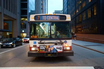
The Chicago Transit Authority (CTA) announced the first five corridors it will target for its Better Streets for Buses Plan.
According to a press release from the agency, “Utilizing an Invest in Cook grant to conduct a Bus Priority Corridor Study, CTA and CDOT plan to examine Pulaski Road, Western Avenue, Cottage Grove Avenue, Fullerton Avenue, and 55th Street. Nearly 74,000 riders travel through one of these five corridors across ten (10) bus routes on an average weekday.”
The study will develop concepts for improving the corridors for more efficient bus travel. “Better Streets for Buses is a framework plan that offers a menu of improvements based on the needs of a specific corridor. Additional planning work is needed to develop specific designs; the Bus Priority Corridor Study will do just that for the five selected corridors and is a major step toward implementation of robust bus priority projects in Chicago.”
The program has led to several immediate projects including priority bus lanes on Chicago Avenue that significantly improved bus speeds. “Implementation of additional and complementary bus service improvement projects will be ongoing through existing CTA-CDOT programs, like the Bus Priority Zones (BPZ) program. The BPZ Program consists of smaller scale street treatment projects that target pinch points on major bus corridors to improve bus service reliability across the entire route.”
FULL STORY: CTA and CDOT Announce “Better Streets for Buses” Target Design Corridors

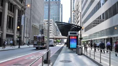
Chicago Makes ‘Pop-Up’ Bus Lanes Permanent
Even with the addition of 3.5 miles of permanent bus-only lanes, Chicago trails other cities in miles of dedicated bus lanes.
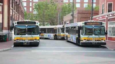
Boston Bus Signal Priority Project Yields Faster Travel Times
The city now plans to expand a year-long pilot project that reduced the time buses waited at traffic signals.
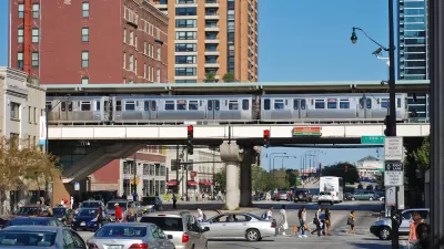
Chicago Transit Increasing Rail Service to Pre-Pandemic Levels
The Chicago Transit Authority is close to returning both rail and bus service to pre-pandemic schedules, with some adjustments for new travel demand.

Study: Maui’s Plan to Convert Vacation Rentals to Long-Term Housing Could Cause Nearly $1 Billion Economic Loss
The plan would reduce visitor accommodation by 25,% resulting in 1,900 jobs lost.
Placekeeping: Setting a New Precedent for City Planners
How a preservation-based approach to redevelopment and urban design can prevent displacement and honor legacy communities.

Using Old Oil and Gas Wells for Green Energy Storage
Penn State researchers have found that repurposing abandoned oil and gas wells for geothermal-assisted compressed-air energy storage can boost efficiency, reduce environmental risks, and support clean energy and job transitions.

Washington State Plans Ambitious ‘Cycle Highway’ Network
The state is directing funding to close gaps in its existing bike network and make long-distance trips more accessible.

Homeowners Blame PG&E for Delays in ADU Permits
The utility says it has dramatically reduced its backlog, but applicants say they still face months-long delays for approvals for new electrical work.

Rethinking Wildfire Defense: How a Landscape Approach Can Protect Neighborhoods
Post-fire analysis of the Eaton Fire reveals that a landscape approach — including fire-resistant vegetation, home hardening, and strategic planning — can help reduce wildfire risk, challenging assumptions that trees and plants are primary fire hazards.
Urban Design for Planners 1: Software Tools
This six-course series explores essential urban design concepts using open source software and equips planners with the tools they need to participate fully in the urban design process.
Planning for Universal Design
Learn the tools for implementing Universal Design in planning regulations.
Borough of Carlisle
Caltrans
Heyer Gruel & Associates PA
Institute for Housing and Urban Development Studies (IHS)
City of Grandview
Harvard GSD Executive Education
Salt Lake City
NYU Wagner Graduate School of Public Service
City of Cambridge, Maryland