


The proposed network would improve connectivity between the area's existing bikeways and increase access to regional job centers.
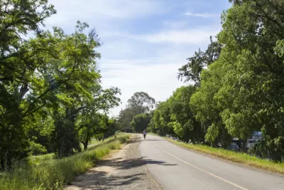
The Sacramento Area Council of Governments (SACOG) is starting public outreach for a project that would create an interconnected network of bikeways in the region, reports Tony Bizjak in the Sacramento Bee.
An online survey asks local residents to "submit their bike travel interests" to help the agency formulate a plan for the bike network. "The region already has a disconnected patchwork of off-street biking corridors that will serve as a starting point. It includes the 32-mile American River Bike Trail, the off-street bike trail systems in Folsom and Davis. There are also levee-top and creekside trails around the region and the blustery Yolo Causeway bike path that connects Davis with West Sacramento." Additional bike projects are in the works in Sacramento, Citrus Heights, and Orangevale.
"SACOG plans this summer to design a better-linked system that fills in the blanks and will make it easier and safer to travel on bikes - both for long and short rides." Connecting the region would require an estimated additional 300 miles of trail. "The plan would make it easier for cities to win funding for more localized bike routes, such as one in Yuba City and Marysville that would take advantage of an unused Union Pacific rail corridor to link residential areas, shopping districts, parks, medical facilities, and offices." The plan would also focus on ensuring equity in bike infrastructure and improving safety for cyclists in densely packed central business districts.
FULL STORY: Sacramento region planning a bike ‘freeway’ system linking cities and neighborhoods

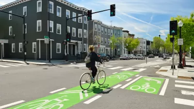
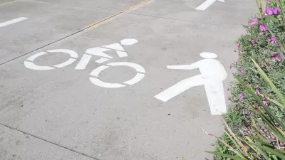
NACTO Releases Updated Urban Bikeway Guide
The third edition of the nationally recognized road design guide includes detailed design advice for roads that prioritize safety and accessibility for all users.
California Bill Promotes ‘Quick-Build’ Road Safety Solutions
The bill is part of an effort to reverse entrenched patterns in traffic engineering and speed up the adoption of safer infrastructure for people walking and biking.
California Governor Vetoes Sidewalk Cycling Bill
The law would have allowed people to bike on sidewalks on roadways that lack safe bikeways.

Alabama: Trump Terminates Settlements for Black Communities Harmed By Raw Sewage
Trump deemed the landmark civil rights agreement “illegal DEI and environmental justice policy.”

Study: Maui’s Plan to Convert Vacation Rentals to Long-Term Housing Could Cause Nearly $1 Billion Economic Loss
The plan would reduce visitor accommodation by 25% resulting in 1,900 jobs lost.

Planetizen Federal Action Tracker
A weekly monitor of how Trump’s orders and actions are impacting planners and planning in America.

Waymo Gets Permission to Map SF’s Market Street
If allowed to operate on the traffic-restricted street, Waymo’s autonomous taxis would have a leg up over ride-hailing competitors — and counter the city’s efforts to grow bike and pedestrian on the thoroughfare.

Parklet Symposium Highlights the Success of Shared Spaces
Parklets got a boost during the Covid-19 pandemic, when the concept was translated to outdoor dining programs that offered restaurants a lifeline during the shutdown.

Federal Homelessness Agency Places Entire Staff on Leave
The U.S. Interagency Council on Homelessness is the only federal agency dedicated to preventing and ending homelessness.
Urban Design for Planners 1: Software Tools
This six-course series explores essential urban design concepts using open source software and equips planners with the tools they need to participate fully in the urban design process.
Planning for Universal Design
Learn the tools for implementing Universal Design in planning regulations.
Caltrans
Smith Gee Studio
Institute for Housing and Urban Development Studies (IHS)
City of Grandview
Harvard GSD Executive Education
Toledo-Lucas County Plan Commissions
Salt Lake City
NYU Wagner Graduate School of Public Service