


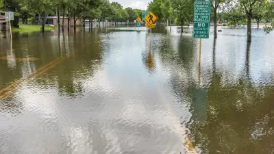
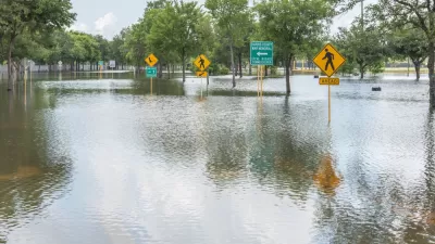
A new study published in the Land Use Policy journal explains how Houston's rapid expansion occurred, and why it matters.
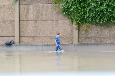
"The urban footprint of the Houston metropolitan area increased by 63% from 1997 to 2017," according to an article by Kevin T. Smiley and Christopher R. Hakkenberg. All that development added 1,000 km2 of impervious surfaces, a mind boggling total equivalent to 1.25 times the land area of New York City; a land area larger than the cities of Boston, Philadelphia, Pittsburgh, and Washington D.C. combined; and 186,873 football fields.
Smiley and Hakenberg, a sociologist and ecologist, respectively, explain their recent study in the Land Use Policy journal, which accounts for the social dynamics driving Houston's incredible expansion. The research integrates insights from each of the writer's respective disciplinary fields "to examine how the social characteristics of neighborhoods relate to how human beings alter their local environment."
The research produces two key findings, according to this article. The first finding came after analyzing urbanization Houston from 1997 to 2016:
If a neighborhood was adding college educated and employed residents or adding owner-occupied homes with higher overall home values, then it was more likely to be urbanizing rapidly — and adding impervious surfaces.
The second finding came after looking at the overall layout of Houston’s urban land, "not just the recent changes, but impervious surfaces created at any time":
Instead of socioeconomic status driving urbanization, we found that neighborhoods with more white residents tended to have higher levels of impervious surfaces. This was true in both 1997 and 2016, meaning that the new 1,000 square kilometers of urbanization didn’t change the overall trend.
So, the understanding of the social dynamics driving urban expansion changes depending whether the changes are evaluated over space or over time. This key distinction informs the authors' call for a new approach to land use and development in the face of the environmental threats presented by climate change.
FULL STORY: The rapid urbanization of Houston: how it happened and why it matters

Assessing Houston’s ‘Climate Abandonment Areas’
Most of the census tracts designated at high risk of flooding are in less affluent neighborhoods.
Five Key Takeaways from the 2018 World Urban Forum
Insight into the hard work of implementing the New Urban Agenda.
Houston Flooding: Climate Change or Development Patterns to Blame?
The Guardian's former environmental editor asks if urban sprawl is as much to blame as climate change for the flooding caused by Hurricane Harvey in Houston.

Alabama: Trump Terminates Settlements for Black Communities Harmed By Raw Sewage
Trump deemed the landmark civil rights agreement “illegal DEI and environmental justice policy.”

Study: Maui’s Plan to Convert Vacation Rentals to Long-Term Housing Could Cause Nearly $1 Billion Economic Loss
The plan would reduce visitor accommodation by 25% resulting in 1,900 jobs lost.

Planetizen Federal Action Tracker
A weekly monitor of how Trump’s orders and actions are impacting planners and planning in America.

Waymo Gets Permission to Map SF’s Market Street
If allowed to operate on the traffic-restricted street, Waymo’s autonomous taxis would have a leg up over ride-hailing competitors — and counter the city’s efforts to grow bike and pedestrian on the thoroughfare.

Parklet Symposium Highlights the Success of Shared Spaces
Parklets got a boost during the Covid-19 pandemic, when the concept was translated to outdoor dining programs that offered restaurants a lifeline during the shutdown.

Federal Homelessness Agency Places Entire Staff on Leave
The U.S. Interagency Council on Homelessness is the only federal agency dedicated to preventing and ending homelessness.
Urban Design for Planners 1: Software Tools
This six-course series explores essential urban design concepts using open source software and equips planners with the tools they need to participate fully in the urban design process.
Planning for Universal Design
Learn the tools for implementing Universal Design in planning regulations.
Caltrans
Smith Gee Studio
Institute for Housing and Urban Development Studies (IHS)
City of Grandview
Harvard GSD Executive Education
Toledo-Lucas County Plan Commissions
Salt Lake City
NYU Wagner Graduate School of Public Service