


A writer weaves a "decade by decade" story, complete with diagrams, of how not to manage a public transit system.
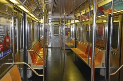
At CityLab, Jonathan English uses both text and diagram to trace "[t]hree broad lines of history" that explain how the New York City subway went from an impressive feat of infrastructure building—hundreds of miles were built between 1904 and 1920—to a beleaguered system that opened no more than a few extensions over the last 80 years.
“The first is the postwar lure of the suburbs and the automobile—the embodiment of modernity in its day. The second is the interminable battles of control between the city and the private transit companies, and between the city and the state government. The third is the treadmill created by rising costs and the buildup of deferred maintenance—an ever-expanding maintenance backlog that eventually consumed any funds made available for expansion.”
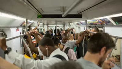
Last summer, after a derailment, Governor Andrew Cuomo declared the subway to be in a state of emergency, though he was subsequently slow to release a plan. Since then much has been written about the enormous task of restoring the system to a good working order, and the absolute importance of doing so.
FULL STORY: Why New York City Stopped Building Subways

Regardless of Cost, New York Must Rehabilitate its Crown Jewel: the Subway
Depending on what's included, the cost to rebuild the ailing 665-mile system could be $111 billion, but the city's future depends on it. A feature-length New York Times Magazine piece looks at its history and suggests ways to finance rebuilding.
A Strong Voice of Support for Value Capture to Fund Subway Repair
In an opinion for City & State, Kathryn Wylde, president of the nonprofit Partnership for New York City, makes the case that the Metropolitan Transportation Authority should be allowed to tax properties where value is enhanced by subway proximity.

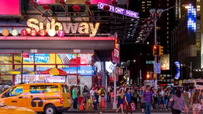
Gov. Cuomo Promised a Plan to Fix the New York Subway; Critics Say it's MIA
Earlier this summer, the governor of New York promised an ambitious plan to fix the MTA subway system. Now, at the end of the promised timeline for that plan, critics are saying that the city is left with more of the same.

Trump Administration Could Effectively End Housing Voucher Program
Federal officials are eyeing major cuts to the Section 8 program that helps millions of low-income households pay rent.

Planetizen Federal Action Tracker
A weekly monitor of how Trump’s orders and actions are impacting planners and planning in America.

Ken Jennings Launches Transit Web Series
The Jeopardy champ wants you to ride public transit.

Rebuilding Smarter: How LA County Is Guiding Fire-Ravaged Communities Toward Resilience
Los Angeles County is leading a coordinated effort to help fire-impacted communities rebuild with resilience by providing recovery resources, promoting fire-wise design, and aligning reconstruction with broader sustainability and climate goals.

When Borders Blur: Regional Collaboration in Action
As regional challenges outgrow city boundaries, “When Borders Blur” explores how cross-jurisdictional collaboration can drive smarter, more resilient urban planning, sharing real-world lessons from thriving partnerships across North America.

Philadelphia Is Expanding its Network of Roundabouts
Roundabouts are widely shown to decrease traffic speed, reduce congestion, and improve efficiency.
Urban Design for Planners 1: Software Tools
This six-course series explores essential urban design concepts using open source software and equips planners with the tools they need to participate fully in the urban design process.
Planning for Universal Design
Learn the tools for implementing Universal Design in planning regulations.
Ada County Highway District
Clanton & Associates, Inc.
Jessamine County Fiscal Court
Institute for Housing and Urban Development Studies (IHS)
City of Grandview
Harvard GSD Executive Education
Toledo-Lucas County Plan Commissions
Salt Lake City
NYU Wagner Graduate School of Public Service