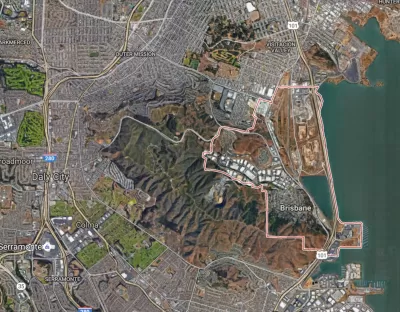
Penny is an artificial intelligence program that detects affluence from space. It also lets users experiment with how different visual forms affect its perception of an area's wealth.

The patterns of urban wealth and poverty, apparently, are obvious enough for an AI to discern. Laura Bliss writes, "A joint collaboration between Stamen Design, DigitalGlobe, and Carnegie Mellon University, Penny is artificial intelligence that can 'read' satellite imagery of two very different cities and judge the income brackets of neighborhoods within them."
Focusing on New York and St. Louis, the program judges wealth from visual patterns alone, not from "knowing" how any building or feature is used. "The tool is meant to provoke conversation around a conclusion with scientific backing: Wealth is visible from space—and can be tracked as its contours invariably shift."
In the future, could AI help planners make better decisions? Or is it too inhuman an instrument? "Already, artificial intelligence is being used to help govern cities in certain contexts, such as predicting where traffic and crime might occur. How far into urban space should AI tread?"
FULL STORY: A Mapping Machine Identifies Wealth From Space

Alabama: Trump Terminates Settlements for Black Communities Harmed By Raw Sewage
Trump deemed the landmark civil rights agreement “illegal DEI and environmental justice policy.”

Planetizen Federal Action Tracker
A weekly monitor of how Trump’s orders and actions are impacting planners and planning in America.

Why Should We Subsidize Public Transportation?
Many public transit agencies face financial stress due to rising costs, declining fare revenue, and declining subsidies. Transit advocates must provide a strong business case for increasing public transit funding.

Understanding Road Diets
An explainer from Momentum highlights the advantages of reducing vehicle lanes in favor of more bike, transit, and pedestrian infrastructure.

New California Law Regulates Warehouse Pollution
A new law tightens building and emissions regulations for large distribution warehouses to mitigate air pollution and traffic in surrounding communities.

Phoenix Announces Opening Date for Light Rail Extension
The South Central extension will connect South Phoenix to downtown and other major hubs starting on June 7.
Urban Design for Planners 1: Software Tools
This six-course series explores essential urban design concepts using open source software and equips planners with the tools they need to participate fully in the urban design process.
Planning for Universal Design
Learn the tools for implementing Universal Design in planning regulations.
Caltrans
Smith Gee Studio
Institute for Housing and Urban Development Studies (IHS)
City of Grandview
Harvard GSD Executive Education
Toledo-Lucas County Plan Commissions
Salt Lake City
NYU Wagner Graduate School of Public Service


