


A new study compares regional population densities to transit systems to find out which transit systems have maximized their reach.

Andrew Small shares news of a new study from the Institute for Transportation & Policy that "measures how many people live within walking distance (1 km) of high-quality rapid transit, either light rail or bus transit, in 26 cities and metros around the world."
Using bus rapid transit standards of transit service, the study then compared the transit systems of 13 metropolitan areas to the population densities of those same areas. "The top four cities with the largest populations near rapid transit were Paris, Barcelona, Madrid, and London, reaching more than 90 percent of their city populations," according to Small.
One key point to be made, however, is the difference between transit coverage in the core areas of these cities compared to the reaches of their suburban periphery. "For example, 100 percent of population of the city of Paris has access to rapid transit, but only 50 percent of its larger metro population has access to the rapid transit shed that extends beyond city boundaries."
Of the cities examined in the study, U.S. cities performed well below average. "The six U.S. cities included in the study averaged a score of 17.2 percent on their metro-area service reach," according to Small, with New York City leading the way with transit accessible to 77 percent of residents living in the city and 35 percent of residents living in the metropolitan area.
FULL STORY: What Cities Have the Most People Living Near Rapid Transit?

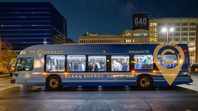
Wisconsin Governor Opens Window for Regional Transit Authority
The proposed state budget includes a provision that allows local governments to establish a dedicated transit tax.
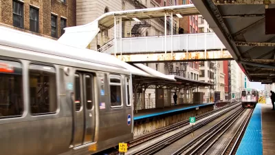
Chicago Commute Times Could Double Without New Transit Funding
A dire warning from regional transit leaders paints a bleak scenario for traffic if agencies are forced to cut service.
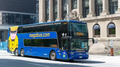
Megabus Owner Files for Bankruptcy
Intercity bus lines in the United States face yet more challenges as a major operator files for bankruptcy, but the company says service continues uninterrupted for now.

Alabama: Trump Terminates Settlements for Black Communities Harmed By Raw Sewage
Trump deemed the landmark civil rights agreement “illegal DEI and environmental justice policy.”

Study: Maui’s Plan to Convert Vacation Rentals to Long-Term Housing Could Cause Nearly $1 Billion Economic Loss
The plan would reduce visitor accommodation by 25% resulting in 1,900 jobs lost.

Planetizen Federal Action Tracker
A weekly monitor of how Trump’s orders and actions are impacting planners and planning in America.

Waymo Gets Permission to Map SF’s Market Street
If allowed to operate on the traffic-restricted street, Waymo’s autonomous taxis would have a leg up over ride-hailing competitors — and counter the city’s efforts to grow bike and pedestrian on the thoroughfare.

Parklet Symposium Highlights the Success of Shared Spaces
Parklets got a boost during the Covid-19 pandemic, when the concept was translated to outdoor dining programs that offered restaurants a lifeline during the shutdown.

Federal Homelessness Agency Places Entire Staff on Leave
The U.S. Interagency Council on Homelessness is the only federal agency dedicated to preventing and ending homelessness.
Urban Design for Planners 1: Software Tools
This six-course series explores essential urban design concepts using open source software and equips planners with the tools they need to participate fully in the urban design process.
Planning for Universal Design
Learn the tools for implementing Universal Design in planning regulations.
Caltrans
Smith Gee Studio
Institute for Housing and Urban Development Studies (IHS)
City of Grandview
Harvard GSD Executive Education
Toledo-Lucas County Plan Commissions
Salt Lake City
NYU Wagner Graduate School of Public Service