


Researchers are examining technologies that can aid in understanding many aspects of our cities, from how citizens interact in plan making, where residents use social media, and how to understand our changing communities.


This past week planning academic from across the globe came together for the Association of Collegiate Schools of Planning Conference. I participated in a session on new technologies and thought the Planetizen community would be interested in the research results.
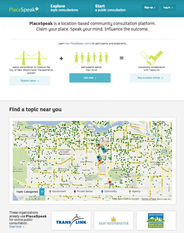 The Usefulness of Online Participatory Planning Tools: Nader Afzalan of the University of the Redlands examined three different online participatory tools, MindMixer (now known as MySidewalk), Shareabouts (now no longer in use), and PlaceSpeak. Planners who used them were very enthusiastic about these tools, with 88 percent reporting they were satisfied or very satisfied with the usefulness of the tools during the planning process. Planners found that using these online tools allowed them to engage a wider array of people and created cost savings when compared to in-person methods. Afzalan undertook in-depth interviews with 40 planners to understand more deeply how planners used the tools and any limitations they might have encountered while doing so. Planners reported that these tools were useful regardless of the scale of the project, from the site scale to the regional scale. Planners reported the highest levels of success when a staff member was assigned to serve as a facilitator to foster conversation. Planners found that the ideas generated online were the same as those generated in person, allowing them to confirm the desires of the community. While they found online participation didn't necessarily generate new ideas, it allowed them to broaden the number of participants which elected officials found valuable—believing that the ideas are representative of the broad community. Planners did raise concerns about the ability to attribute names to comments made, as they weren't sure about any legal compliance requirements specific to their state.
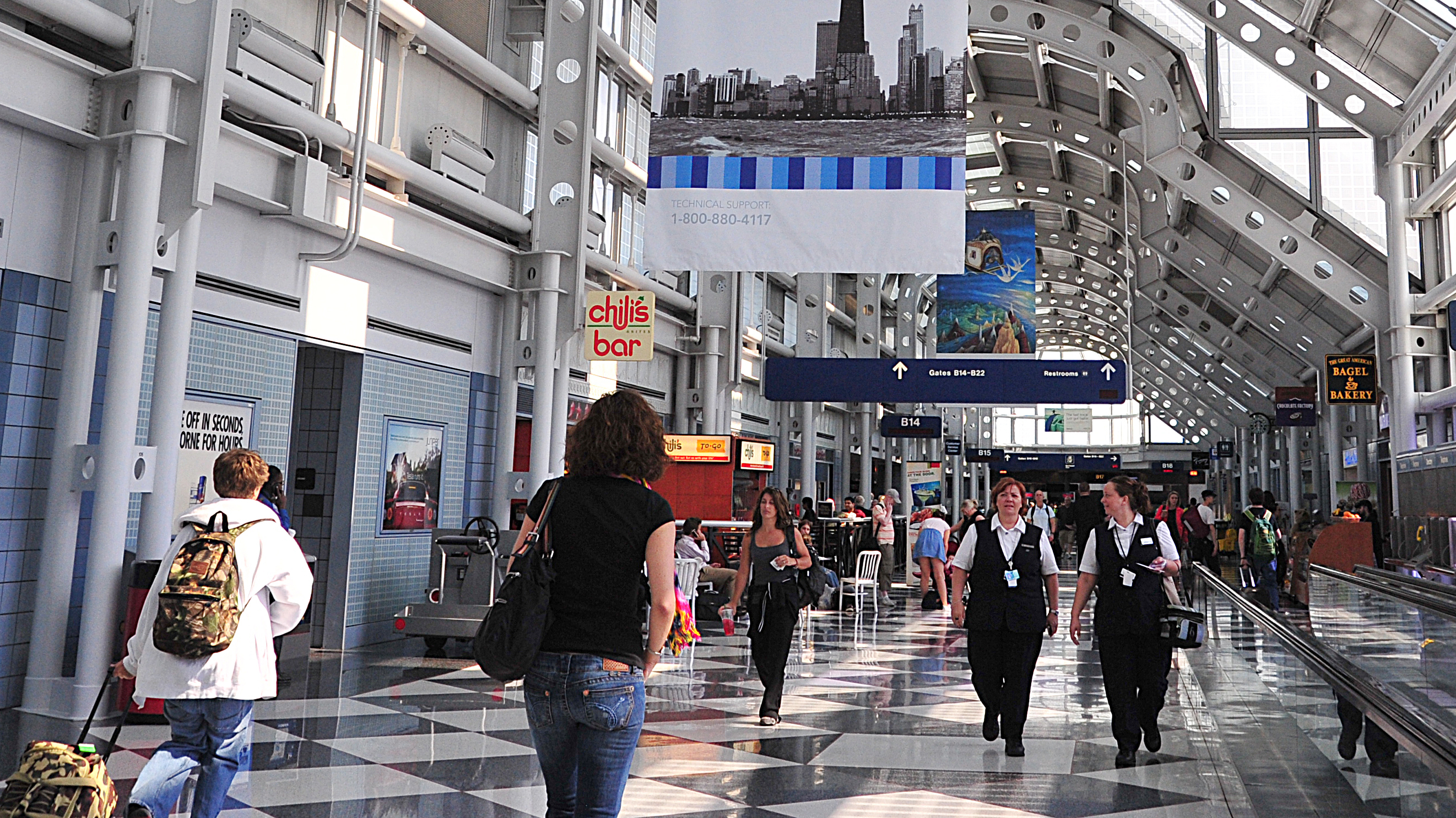 Where Would People Like to Tweet: Yan Chen at the University of North Carolina Chapel Hill examined more than 341,000 geo-tagged tweets in Chicago in the summer of 2015. He found that a number of key locations result in Twitter hotspots, including Loyola University, Wrigley Field, North Center, Magnificent Mile, The Loop, O'Hare International Airport, and Piotrowski Park. The variables most associated with high tweet volume include high degree of street connectivity, density of park space, density of bike lane, high volume of restaurants, and high density mixed use, among others. Areas with high automobile ownership and high residential density were associated with the lowest levels of twitter activity. One key question: What are people sharing when they tweet from these locations? Are they tweeting about the place, what they are doing, or are they tweeting because they are bored waiting for their flight? Chen plans to examine those questions in further studies.
 Analytical Methods Using GIS and Inclusivity in Historic Presentation: Emily Goldman from Cornell University shared her research on the changing demographics of neighborhoods that have created historic districts. The study focuses on Brooklyn, finding that the geographical and architectural character of districts created in the 1970s as well as in the last two decades are quite similar. Goldman identifies differences, however, in demographics. Historic districts created in the '70s were largely white and higher income, while more recently created historic districts are more diverse in the ethnic and racial makeup. The key challenge is how to best measure this change. Census boundaries don't often precisely match historic district boundaries and depending on the unit of analysis, tract or block group, can yield different results. This research is continuing to explore how to best address analyzing demographic characteristics of historic districts.


Philly Residents Push Back on New Historic Preservation District
Some residents of Philadelphia’s newly designated Washington Square West Historic District say the community was left out of the decision-making process that could impact housing costs and building requirements.
Chicago Towers Recommended for Adaptive Reuse
Once slated for demolition, two historic buildings owned by the federal government will be restored for new uses.
Seattle Historic District Could Remove Street Dining
Despite the popularity of Ballard Avenue’s outdoor dining pergolas, some district board members argue the patios don’t match the district’s historic character.

Study: Maui’s Plan to Convert Vacation Rentals to Long-Term Housing Could Cause Nearly $1 Billion Economic Loss
The plan would reduce visitor accommodation by 25,% resulting in 1,900 jobs lost.

North Texas Transit Leaders Tout Benefits of TOD for Growing Region
At a summit focused on transit-oriented development, policymakers discussed how North Texas’ expanded light rail system can serve as a tool for economic growth.

Why Should We Subsidize Public Transportation?
Many public transit agencies face financial stress due to rising costs, declining fare revenue, and declining subsidies. Transit advocates must provide a strong business case for increasing public transit funding.

How to Make US Trains Faster
Changes to boarding platforms and a switch to electric trains could improve U.S. passenger rail service without the added cost of high-speed rail.

Columbia’s Revitalized ‘Loop’ Is a Hub for Local Entrepreneurs
A focus on small businesses is helping a commercial corridor in Columbia, Missouri thrive.

Invasive Insect Threatens Minnesota’s Ash Forests
The Emerald Ash Borer is a rapidly spreading invasive pest threatening Minnesota’s ash trees, and homeowners are encouraged to plant diverse replacement species, avoid moving ash firewood, and monitor for signs of infestation.
Urban Design for Planners 1: Software Tools
This six-course series explores essential urban design concepts using open source software and equips planners with the tools they need to participate fully in the urban design process.
Planning for Universal Design
Learn the tools for implementing Universal Design in planning regulations.
City of Santa Clarita
Ascent Environmental
Institute for Housing and Urban Development Studies (IHS)
City of Grandview
Harvard GSD Executive Education
Toledo-Lucas County Plan Commissions
Salt Lake City
NYU Wagner Graduate School of Public Service