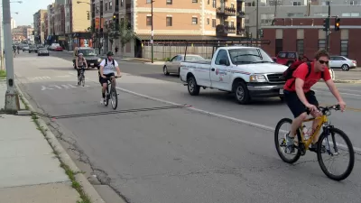
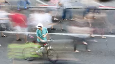
Tired of standing on a street corner to count traffic? Technology is automating traffic counts and providing more detailed and accurate data to support planning.
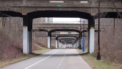
Many communities around the country participate in the annual bicycle and pedestrian count project, held September 14-20, sponsored by the Institute of Transportation Engineers Pedestrian and Bicycle Council and Alta Planning and Design. The purpose of participation is to be able to more accurately and consistently calculate demand. The Transportation Research Board provides a Guidebook on Pedestrian and Bicycle Volume Data Collection to assist communities in conducting counts.
One challenge with bicycle and pedestrian counts, as well as vehicle traffic counts, is the time spent coordinating volunteers and staff to conduct the counts and calculate results in point in time counts. Technology is now available that can assist in making traffic counting easier and more accurate.
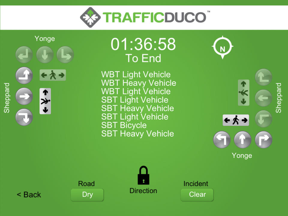
There are now traffic counting apps including TurnCount (iOS), Crosstown Traffic (iOS), and TrafficDuco. I tried TrafficDuco, which allowed me to collect traffic counts via a mobile device. I organized and setup the assigned traffic count times and sent email alerts to volunteers and staff with the time and location of their assigned count. The person undertaking the count opens the app and simply taps and swipes to collect the pedestrian, bicycle, and vehicle data. Learn more about how I used TrafficDuco as part of a traffic counting project.
Some companies have taken the concept further by taking the person counting traffic off of the street. You have probably seen the tubes in the road that count vehicles or on a trail to count cyclists. While a human doesn't need to be on site, there is a limited amount of data that can be collected from these tube counts. Alternatively, traffic is counted using radar technology, which can be particularly useful in counting traffic speed.
A number of companies are now offering video surveillance. A company is able to capture video of a location and then the footage is reviewed by individuals who capture the counts. This allows for the collection of a wider array of traffic information.
A handful of companies are now automating the video traffic count process. For example KritiKal in India automatically processes a video feed, increasing the accuracy of the counts and allowing modification based on the count needs. PlaceMeter provides a similar service in the United States. Stanislav Parfenov, Solutions Architect with PlaceMeter, notes that people care about accuracy: "Humans can do at tops 82% accuracy in counts. With automated video processing it is possible to achieve greater than 90%." Placemeter sets up algorithms and checks the accuracy of the counts and ensures that shapes are being properly recognized.
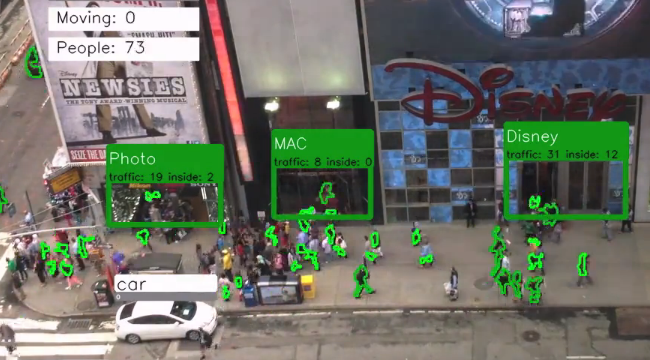
The way the system works is that you can tie into any camera, at 20 frames per second or above, connected to the internet. For example, security cameras already facing the street could be used to count traffic. Or it is possible to have a sensor installed in a location to measure a specific point of interest. The result is that it is possible to have continuous collection of traffic data. Parfenov notes, "you are able to see patterns in the data. Understand what happens during special events, during a lane closure, or what happens after a bus stop is installed and what happens when the weather changes."
The user has a dashboard that allows for the monitoring of measurement points. This data is being used by departments of transportation to supplement existing counts. Transit agencies are interested in learning what routes people take inside the station and the average wait time. University campus planners are using this tool to study pedestrian movements in public spaces. Commercial real estate firms are interested in analyzing walkability, understanding how many people walk by a storefront, what time of day the peak is, and the speed at which they walk by.
The result of having access to more detailed traffic data supports smarter infrastructure investments and the design of public spaces that encourage greater mobility.
Is your community participating in counting exercises? Are you using technology to assist in your counts? If so, share what you are doing in the comments section below.

Alabama: Trump Terminates Settlements for Black Communities Harmed By Raw Sewage
Trump deemed the landmark civil rights agreement “illegal DEI and environmental justice policy.”

Planetizen Federal Action Tracker
A weekly monitor of how Trump’s orders and actions are impacting planners and planning in America.

Why Should We Subsidize Public Transportation?
Many public transit agencies face financial stress due to rising costs, declining fare revenue, and declining subsidies. Transit advocates must provide a strong business case for increasing public transit funding.

Understanding Road Diets
An explainer from Momentum highlights the advantages of reducing vehicle lanes in favor of more bike, transit, and pedestrian infrastructure.

New California Law Regulates Warehouse Pollution
A new law tightens building and emissions regulations for large distribution warehouses to mitigate air pollution and traffic in surrounding communities.

Phoenix Announces Opening Date for Light Rail Extension
The South Central extension will connect South Phoenix to downtown and other major hubs starting on June 7.
Urban Design for Planners 1: Software Tools
This six-course series explores essential urban design concepts using open source software and equips planners with the tools they need to participate fully in the urban design process.
Planning for Universal Design
Learn the tools for implementing Universal Design in planning regulations.
Caltrans
Smith Gee Studio
Institute for Housing and Urban Development Studies (IHS)
City of Grandview
Harvard GSD Executive Education
Toledo-Lucas County Plan Commissions
Salt Lake City
NYU Wagner Graduate School of Public Service


