


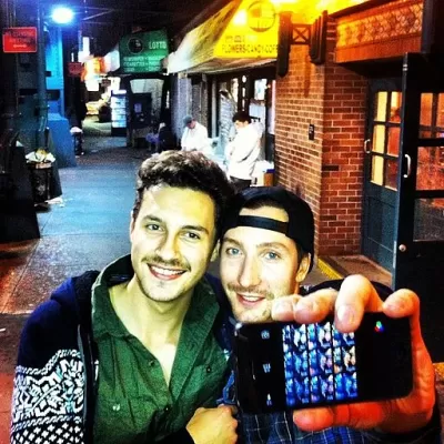
Researchers who studied the appeal of New York City streetscapes find an additionally significant factor on the streets of Salt Lake City: the photo op.
A recent study by planning scholar Reid Ewing determined that three streetscape features significantly correlate to pedestrian use in NYC: active use (i.e., streets with schools, busy office buildings and parks); the presence of street furniture (such as ATMs, parking meters, and benches); and first-floor window-to-façade ratio (the proportion of windows on a building’s façade). But New York City is not called the Greatest City on Earth for nothing. As Laura Bliss writes, "There’s so much that sets New York apart from other American cities: its density, its walkability, its spread of urban versus suburban development, among others. What about smaller towns?"
Ewing’s new study of Salt Lake City suggests that to achieve walkability, planners in other cities might want to also ask: can it be Instagrammed?
The Salt Lake City study was designed to determine whether pedestrians in a less dense city with an average level of metropolitan sprawl were drawn to streetscapes with the same features found to be significant in NYC. While two of the three factors—active use and windows—contributed to the significance of what the researchers termed transparency on 179 blocks in Salt Lake City, of additional importance was the imageability of a streetscape.
Imageability, Bliss writes, "is what makes a place distinctive and memorable—a visual identity that could be made of parks or plazas, unique views or vistas, old or unusual architecture, and al fresco dining."
The relative importance of imageability is still widely unknown. However, reports last winter of young girls taking selfies in front of an active building explosion site in NYC’s East Village suggest that, as Bliss reports, "walkability is about more than density, street-level retail, or any one design quality in isolation."
FULL STORY: How Urban Designers Can Get Smaller Cities Walking

Meet NYC’s New Office of Livable Streets
The NYC DOT program will build on pandemic-era initiatives to promote safe and comfortable streets that enhance community and expand uses beyond just moving cars.
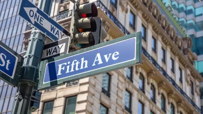
What Will Become of Fifth Avenue?
Visitors to the iconic shopping street overwhelmingly arrive by walking, transit, or bike. Why are bike and pedestrian infrastructure improvement lagging so far behind another famous NYC street, Broadway?
‘Instagrammed to Death’ or a Return to Pre-Pandemic Normal?
Familiar controversies might seem reassuring in 2022.

Study: Maui’s Plan to Convert Vacation Rentals to Long-Term Housing Could Cause Nearly $1 Billion Economic Loss
The plan would reduce visitor accommodation by 25,% resulting in 1,900 jobs lost.

North Texas Transit Leaders Tout Benefits of TOD for Growing Region
At a summit focused on transit-oriented development, policymakers discussed how North Texas’ expanded light rail system can serve as a tool for economic growth.

Why Should We Subsidize Public Transportation?
Many public transit agencies face financial stress due to rising costs, declining fare revenue, and declining subsidies. Transit advocates must provide a strong business case for increasing public transit funding.

How to Make US Trains Faster
Changes to boarding platforms and a switch to electric trains could improve U.S. passenger rail service without the added cost of high-speed rail.

Columbia’s Revitalized ‘Loop’ Is a Hub for Local Entrepreneurs
A focus on small businesses is helping a commercial corridor in Columbia, Missouri thrive.

Invasive Insect Threatens Minnesota’s Ash Forests
The Emerald Ash Borer is a rapidly spreading invasive pest threatening Minnesota’s ash trees, and homeowners are encouraged to plant diverse replacement species, avoid moving ash firewood, and monitor for signs of infestation.
Urban Design for Planners 1: Software Tools
This six-course series explores essential urban design concepts using open source software and equips planners with the tools they need to participate fully in the urban design process.
Planning for Universal Design
Learn the tools for implementing Universal Design in planning regulations.
City of Santa Clarita
Ascent Environmental
Institute for Housing and Urban Development Studies (IHS)
City of Grandview
Harvard GSD Executive Education
Toledo-Lucas County Plan Commissions
Salt Lake City
NYU Wagner Graduate School of Public Service