


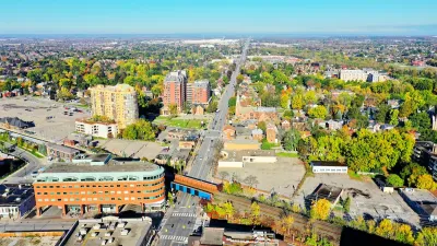
"Depending on where you live in Melbourne, it could take longer to get into the city than it did in the 1920s," according to an article The Age. But really not much has changed.
Tom Cowie writes: We've come this beautiful 1925 colour-coded map from the Metropolitan Town Planning Commission. It shows the estimated time it took to journey into the city using public transport nearly 100 years ago."
"Public transport advocate Daniel Bowen says the map shows how little things have changed in Melbourne in the past century because there hasn't been a lot of new rail infrastructure."
The article provides a detailed analysis of the historic map and how it compares to current transit service. One note of hope: five times as many people live in Melbourne areas now as in 1925. That so many more people can reach the city in about the same amount of time should be seen as a significant benefit for transit over automobile commutes.
FULL STORY: Is your train commute quicker than 90 years ago? The answer might surprise you

This Toronto Suburb Has More Bus Riders Than Columbus, Ohio
Brampton, Ontario used gradual improvements in service to prove that if you build it, they will ride.
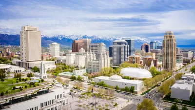
Salt Lake City to Get Five New Bus Lines
The service improvements come after a year of strong ridership growth.
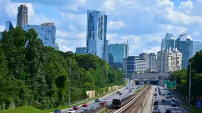
MARTA Adds Train Service for NYE Events
The Atlanta transit agency will run additional trains to accommodate traffic to sporting and cultural events downtown over the New Year’s holiday.

Alabama: Trump Terminates Settlements for Black Communities Harmed By Raw Sewage
Trump deemed the landmark civil rights agreement “illegal DEI and environmental justice policy.”

Study: Maui’s Plan to Convert Vacation Rentals to Long-Term Housing Could Cause Nearly $1 Billion Economic Loss
The plan would reduce visitor accommodation by 25% resulting in 1,900 jobs lost.

Planetizen Federal Action Tracker
A weekly monitor of how Trump’s orders and actions are impacting planners and planning in America.

Waymo Gets Permission to Map SF’s Market Street
If allowed to operate on the traffic-restricted street, Waymo’s autonomous taxis would have a leg up over ride-hailing competitors — and counter the city’s efforts to grow bike and pedestrian on the thoroughfare.

Parklet Symposium Highlights the Success of Shared Spaces
Parklets got a boost during the Covid-19 pandemic, when the concept was translated to outdoor dining programs that offered restaurants a lifeline during the shutdown.

Federal Homelessness Agency Places Entire Staff on Leave
The U.S. Interagency Council on Homelessness is the only federal agency dedicated to preventing and ending homelessness.
Urban Design for Planners 1: Software Tools
This six-course series explores essential urban design concepts using open source software and equips planners with the tools they need to participate fully in the urban design process.
Planning for Universal Design
Learn the tools for implementing Universal Design in planning regulations.
Caltrans
Smith Gee Studio
Institute for Housing and Urban Development Studies (IHS)
City of Grandview
Harvard GSD Executive Education
Toledo-Lucas County Plan Commissions
Salt Lake City
NYU Wagner Graduate School of Public Service