


West Palm Beach, Florida is undertaking a walkability study of its downtown; wide streets and a confusing mix of jurisdictions provide substantial challenges to the effort.
Eliot Kleinberg details the case of West Palm Beach, Florida, were the Downtown Development Authority (DDA) and the Community Development Agency recently hired Jeff Speck to undertake a walkability study of the city's downtown.
Plans to build a new, 400-plus-room hotel, across from the West Palm Beach's CityPlace and adjacent to the city's convention center, for instance, would be greatly improved if the street bifurcating the developments weren't eight lanes of vehicle-inhabited pedestrian disincentive. DDA Executive Director Raphael Clemente even has a personal anecdote about the dangerous conditions of the streets in downtown—he and his daughter were struck by a car making an illegal U-turn while they were riding their bikes in downtown last year.
The city, including Mayor Jeri Muoio, seem ready to address the problem at the street design level—rather than adding pedestrian or bicycle infrastructure like flyovers or tunnels. But reconfiguring the street will require coordination of a byzantine maze of jurisdictions. The aforementioned eight-lane street across from the convention center, for instance, is actually two separate 4-lane, 1-way boulevards: "Okeechobee and Lakeview — constitute a state road, State Road 704. Traffic lights are operated by Palm Beach County. The city owns part of the median. And the convention center hotel owns another part."
According to Kleinberg's report, Speck will present his findings of his walkability study at the end of May.
FULL STORY: Big divide separates CityPlace, new hotel

Street Redesign as an Economic Development Tool
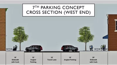
The city of Covington in Kentucky is working on street improvements on key downtown streets in the hopes of attracting new business to the area.

US Street Design Manual Inches Toward Safer Roads
The guiding document for U.S. road design is starting to recognize the needs of people walking and biking, but safe streets advocates say more significant changes are needed to reduce the high number of pedestrian deaths and improve connectivity for all road users.

Austin Suburb Launches Walkability Study
Kyle, Texas is developing a Sidewalks Master Plan to improve walking facilities.

Alabama: Trump Terminates Settlements for Black Communities Harmed By Raw Sewage
Trump deemed the landmark civil rights agreement “illegal DEI and environmental justice policy.”

Study: Maui’s Plan to Convert Vacation Rentals to Long-Term Housing Could Cause Nearly $1 Billion Economic Loss
The plan would reduce visitor accommodation by 25% resulting in 1,900 jobs lost.

Planetizen Federal Action Tracker
A weekly monitor of how Trump’s orders and actions are impacting planners and planning in America.

Wind Energy on the Rise Despite Federal Policy Reversal
The Trump administration is revoking federal support for renewable energy, but demand for new projects continues unabated.

Passengers Flock to Caltrain After Electrification
The new electric trains are running faster and more reliably, leading to strong ridership growth on the Bay Area rail system.

Texas Churches Rally Behind ‘Yes in God’s Back Yard’ Legislation
Religious leaders want the state to reduce zoning regulations to streamline leasing church-owned land to housing developers.
Urban Design for Planners 1: Software Tools
This six-course series explores essential urban design concepts using open source software and equips planners with the tools they need to participate fully in the urban design process.
Planning for Universal Design
Learn the tools for implementing Universal Design in planning regulations.
Caltrans
Smith Gee Studio
Institute for Housing and Urban Development Studies (IHS)
City of Grandview
Harvard GSD Executive Education
Toledo-Lucas County Plan Commissions
Salt Lake City
NYU Wagner Graduate School of Public Service