


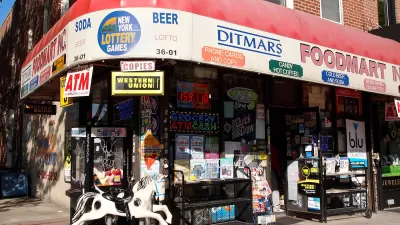
Walk Score has released its 2014 ranking of Most Walkable U.S. Cities and Neighborhoods. Though New York's position at the top of the list would be easy to explain, one surprise made the top five.
With walkability an increasingly important factor in where we chose to live, Walk Score's comprehensive evaluation of America's most pedestrian-friendly neighborhoods seems to only become more meaningful.
“For decades, Americans have tended to drive more every year, but that’s changing. Today commuting by bus, bike and foot are on the rise as more people choose apartments and homes in walkable neighborhoods and with shorter, cheaper and happier commutes,” said Josh Herst, CEO of Walk Score.
This year's top five cities are: New York, San Francisco, Boston, Philadelphia, and (perhaps surprisingly) Miami.
"The 2014 ranking of Most Walkable U.S. Cities and Neighborhoods is based on a proprietary algorithm and analysis of over 10 million addresses and over 2 billion walking routes to neighborhood amenities across 2,500 cities and more than 10,000 neighborhoods," says the company. "Walk Score’s ranking is the only national, quantitative walkability rating."
FULL STORY: 2014 Ranking of Most Walkable Cities & Neighborhoods


New Tool for Measuring Neighborhood Walkability
Watch out Walk Score, you've got some competition. Mapping company Maponics is measuring pedestrian-friendliness with a new tool called 'Walkability'. They measure several factors Walk Score doesn't, including crime, street type, and speed limit.
What the ‘Walk Score’ Misses
A popular walkability assessment omits key factors that impact different demographics and can direct development resources to already wealthy neighborhoods.
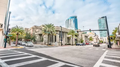
Orlando Pledges to Improve Walkability
A city report highlights successes and failures in building safer transportation infrastructure and reducing VMT in 2023.

Alabama: Trump Terminates Settlements for Black Communities Harmed By Raw Sewage
Trump deemed the landmark civil rights agreement “illegal DEI and environmental justice policy.”

Planetizen Federal Action Tracker
A weekly monitor of how Trump’s orders and actions are impacting planners and planning in America.

Why Should We Subsidize Public Transportation?
Many public transit agencies face financial stress due to rising costs, declining fare revenue, and declining subsidies. Transit advocates must provide a strong business case for increasing public transit funding.

Understanding Road Diets
An explainer from Momentum highlights the advantages of reducing vehicle lanes in favor of more bike, transit, and pedestrian infrastructure.

New California Law Regulates Warehouse Pollution
A new law tightens building and emissions regulations for large distribution warehouses to mitigate air pollution and traffic in surrounding communities.

Phoenix Announces Opening Date for Light Rail Extension
The South Central extension will connect South Phoenix to downtown and other major hubs starting on June 7.
Urban Design for Planners 1: Software Tools
This six-course series explores essential urban design concepts using open source software and equips planners with the tools they need to participate fully in the urban design process.
Planning for Universal Design
Learn the tools for implementing Universal Design in planning regulations.
Caltrans
Smith Gee Studio
Institute for Housing and Urban Development Studies (IHS)
City of Grandview
Harvard GSD Executive Education
Toledo-Lucas County Plan Commissions
Salt Lake City
NYU Wagner Graduate School of Public Service