


Several collaborative Google Maps cover Traditional Neighborhood Developments (TNDs) across the US and Canada as well as form-based codes globally. Are yours listed?
A number of indices measure walkability, affordability, and environmental performance, including CNT's H+T Index, Walkscore, and IMI's Walkability Index. But they may not be measuring livability quite yet. Hazel Borys invites you to add to the Collaborative Google Maps that currently track Form-Based Codes and Traditional Neighborhood Developments. Borys says:
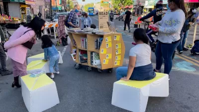
"At the macro level, a livable project is one that embodies the CNU Charter. However, there are few metrics associated with the Charter. Many projects can look great from satellite view, as seen on the following maps: Eastern US | Western US | Canada. Turn on satellite view, zoom in, and analyze. Still, when walking down these streets, the neighborhoods have various levels of authenticity, immersiveness, and livability."
"Similarly, the SmartCode is a starting point for urban metrics, with significant changes to the numbers based on local character. On top of that discussion, you could layer on environmental impacts of TNDs. They may provide great examples of urban form, but have dismal H+T Index performance. Form-based codes (FBCs) remove barriers to entry for walkable infill and redevelopment that can deliver better housing and transportation affordability. Collaborative Google Maps are part of the Code Study: SmartCodes Adopted | SmartCodes in Progress | Other Form-Based Codes."
Thanks to Scott Doyon
FULL STORY: Collaborative Placemaking Maps


3 Good Reasons SimCity Should Adopt a Form-Based Code
And an update from Codes Study about the 600 places that really are upping their game with form-based codes.
Meet NYC’s New Office of Livable Streets
The NYC DOT program will build on pandemic-era initiatives to promote safe and comfortable streets that enhance community and expand uses beyond just moving cars.

Can L.A. Accomplish Affordability with 'Housing Plus, Plus, Plus'?
Alfred Fraijo Jr., partner at Sheppard Mullin, shares frustration with what he sees as a state inaction on housing and L.A.'s legacy of piecemeal planning and outdated zoning.

Alabama: Trump Terminates Settlements for Black Communities Harmed By Raw Sewage
Trump deemed the landmark civil rights agreement “illegal DEI and environmental justice policy.”

Study: Maui’s Plan to Convert Vacation Rentals to Long-Term Housing Could Cause Nearly $1 Billion Economic Loss
The plan would reduce visitor accommodation by 25% resulting in 1,900 jobs lost.

Planetizen Federal Action Tracker
A weekly monitor of how Trump’s orders and actions are impacting planners and planning in America.

Wind Energy on the Rise Despite Federal Policy Reversal
The Trump administration is revoking federal support for renewable energy, but demand for new projects continues unabated.

Passengers Flock to Caltrain After Electrification
The new electric trains are running faster and more reliably, leading to strong ridership growth on the Bay Area rail system.

Texas Churches Rally Behind ‘Yes in God’s Back Yard’ Legislation
Religious leaders want the state to reduce zoning regulations to streamline leasing church-owned land to housing developers.
Urban Design for Planners 1: Software Tools
This six-course series explores essential urban design concepts using open source software and equips planners with the tools they need to participate fully in the urban design process.
Planning for Universal Design
Learn the tools for implementing Universal Design in planning regulations.
Caltrans
Smith Gee Studio
Institute for Housing and Urban Development Studies (IHS)
City of Grandview
Harvard GSD Executive Education
Toledo-Lucas County Plan Commissions
Salt Lake City
NYU Wagner Graduate School of Public Service