


Google Maps is built for able-bodied people, but the AccessMap Seattle app is for everyone.

Megan Wildhood shares news of a website and mobile app called AccessMap Seattle, where "users can find streets color-coded for steepness (green for flat, yellow for moderate, and red for steep), and the locations of curb cuts, bus stops, and elevators, as well as construction sites, which tend to sprawl and block crosswalks and sidewalks."
Nick Bolten, developer of AccessMap Seattle, is now partnering with Anat Caspi, director of The Taskar Center for Accessible Technology at the University of Washington, to further develop the app, especially in identifying different mobility challenges facing people with special needs. And there plenty of complications in the world:
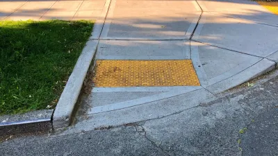
The diversity of disability also complicates data collection: A map of sidewalks, curb cuts, or steepness of streets might not be sufficient for those with limited mobility. For example, are there major cracks in the sidewalk because of disrepair, tree roots, or other damage? Does the sidewalk slope at an angle dangerous to wheelchair users? To source such varying data, the AccessMap team is considering GPS navigation app Waze as a model.
The app is still in development, but some users are already testing the app. "Eventually, the team hopes, it could benefit those with mobility limitations who navigate Seattle, especially those without knowledge of the city’s lesser-known accessible routes. And it could also benefit the larger public by producing data to drive forward discussions of access and ability," writes Wildhood.
FULL STORY: How Steep Is That Sidewalk? A Digital Map for People With Disabilities

'Project Sidewalk' Crowdsources ADA Compliance
A crowdsourcing app allows citizens to hold the public realm to higher standards of access and mobility.
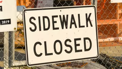
Baltimore Ordered to Improve Sidewalk Accessibility
The city is one of many to face lawsuits for failing to comply with the Americans with Disabilities Act.

For Advice on Accessibility, Look to Iceland
Cities around the country installed over 1,700 wheelchair ramps in the last five years, thanks in part to one man’s initiative.

Alabama: Trump Terminates Settlements for Black Communities Harmed By Raw Sewage
Trump deemed the landmark civil rights agreement “illegal DEI and environmental justice policy.”

Planetizen Federal Action Tracker
A weekly monitor of how Trump’s orders and actions are impacting planners and planning in America.

Why Should We Subsidize Public Transportation?
Many public transit agencies face financial stress due to rising costs, declining fare revenue, and declining subsidies. Transit advocates must provide a strong business case for increasing public transit funding.

Understanding Road Diets
An explainer from Momentum highlights the advantages of reducing vehicle lanes in favor of more bike, transit, and pedestrian infrastructure.

New California Law Regulates Warehouse Pollution
A new law tightens building and emissions regulations for large distribution warehouses to mitigate air pollution and traffic in surrounding communities.

Phoenix Announces Opening Date for Light Rail Extension
The South Central extension will connect South Phoenix to downtown and other major hubs starting on June 7.
Urban Design for Planners 1: Software Tools
This six-course series explores essential urban design concepts using open source software and equips planners with the tools they need to participate fully in the urban design process.
Planning for Universal Design
Learn the tools for implementing Universal Design in planning regulations.
Caltrans
Smith Gee Studio
Institute for Housing and Urban Development Studies (IHS)
City of Grandview
Harvard GSD Executive Education
Toledo-Lucas County Plan Commissions
Salt Lake City
NYU Wagner Graduate School of Public Service