


An underused highway could become a pedestrian and bike trail connecting the Cape Cod town to its beaches.
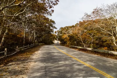
In Provincetown, Massachusetts, “for over half a century, an orphaned four-lane divided highway – Route 6 – has cut off the town of 3,000 people from the sand dunes, trails, and beaches that lie to the north of the highway.” Now, Christian MilNeil writes in Streetsblog Mass, “the town and MassDOT are planning to connect downtown Provincetown with the trail network of the Cape Cod National Seashore by cutting Route 6 in half.”
The project would connect to downtown Provincetown and provide a new link for pedestrians and cyclists. “On the mile-long segment of Route 6 between Provincetown’s Shank Painter Road and the beach, the northern side of the divided highway – what are currently the two westbound highway lanes – will be converted into a normal two-lane roadway. The other half – what are currently the eastbound lanes – will be trimmed down to create a 16-foot-wide car-free path.”
At the same time, MassDOT and the town are planning to add pedestrian infrastructure and upgrades to Shank Painter Road, “a major cross-town route that currently lacks any sidewalks along most of its length.” Officials also envision a future connection to the Cape Cod Rail Trail.
FULL STORY: Provincetown Plans to Carve Up Its Freeway For a New Car-Free Path

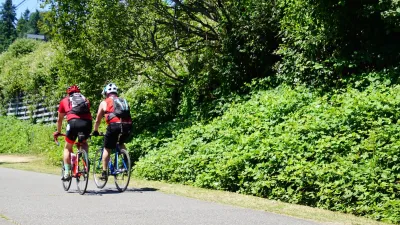
Washington State Plans Ambitious ‘Cycle Highway’ Network
The state is directing funding to close gaps in its existing bike network and make long-distance trips more accessible.
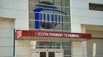
Central Ohio Voters Pass Transit Levy
The new sales tax will fund improved bus service, rapid transit projects, and ‘transit -supportive’ infrastructure.
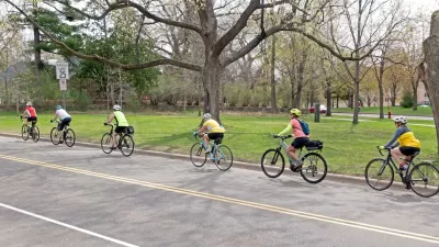
Twin Cities Suburbs Look to Improve Bike Facilities
Communities around Minneapolis and St. Paul are working to build more robust bike infrastructure networks.

Alabama: Trump Terminates Settlements for Black Communities Harmed By Raw Sewage
Trump deemed the landmark civil rights agreement “illegal DEI and environmental justice policy.”

Planetizen Federal Action Tracker
A weekly monitor of how Trump’s orders and actions are impacting planners and planning in America.

Why Should We Subsidize Public Transportation?
Many public transit agencies face financial stress due to rising costs, declining fare revenue, and declining subsidies. Transit advocates must provide a strong business case for increasing public transit funding.

Blinded by the Light: When Brighter Headlights Decrease Safety
Bright LED headlights can create glare and reduce visibility for other drivers and pedestrians.

Study Links Covid and Poor Driving
The effects of the virus, including ‘brain fog,’ can make driving more difficult and dangerous.

Waymo Gets Permission to Map SF’s Market Street
If allowed to operate on the traffic-restricted street, Waymo’s autonomous taxis would have a leg up over ride-hailing competitors — and counter the city’s efforts to grow bike and pedestrian on the thoroughfare.
Urban Design for Planners 1: Software Tools
This six-course series explores essential urban design concepts using open source software and equips planners with the tools they need to participate fully in the urban design process.
Planning for Universal Design
Learn the tools for implementing Universal Design in planning regulations.
Caltrans
Smith Gee Studio
Institute for Housing and Urban Development Studies (IHS)
City of Grandview
Harvard GSD Executive Education
Toledo-Lucas County Plan Commissions
Salt Lake City
NYU Wagner Graduate School of Public Service