


A new map of Virginia illustrates the stark contrasts in pollution burdens depending on location.
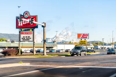
A new interactive map of Virginia identifies hotspots of environmental justice failures—where residents face disproportionate public health socioeconomic effects as the result of pollution.
An article by Sarah Vogelsong provides additional insight into the findings of the Mapping for Environmental Justice initiative, which worked with the Virginia Environmental Justice Collaborative and funding from the Earth Island Institute. According to Vogelsong, "the Virginia map assigns a 'cumulative environmental justice impact' score to each census tract in the commonwealth. The higher the score, the greater the tract’s overall environmental impacts and vulnerabilities are considered to be."
According to the initiative's website, parts of Virginia facing disproportionate environmental burdens are "nearly five times more likely to be exposed to air pollution from traffic and are 3.6 times more likely to live near a Superfund site" [emphasis from the original].
"Pollution burden includes data on ozone, particulate matter, lead paint, air toxics, traffic, mines, hazardous waste and high-risk chemical facilities and federal cleanup sites," explains Vogelsong.
FULL STORY: New mapping tool aims to clarify Virginia environmental justice debates


Alabama: Trump Terminates Settlements for Black Communities Harmed By Raw Sewage
Trump deemed the landmark civil rights agreement “illegal DEI and environmental justice policy.”
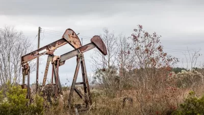
Addressing Orphan Wells for Environmental Justice
Remediating and repurposing some orphan oil and gas wells into parks can turn environmental hazards into community assets, promoting health, environmental justice, and accessible green space for underserved areas.
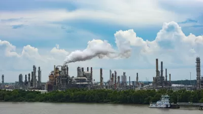
Court Bars EPA Probes in Louisiana’s ‘Cancer Alley’
A federal court ruling effectively prevents the Environmental Protection Agency from pursuing civil rights claims in one of the nation’s most polluted regions.
Alabama: Trump Terminates Settlements for Black Communities Harmed By Raw Sewage
Trump deemed the landmark civil rights agreement “illegal DEI and environmental justice policy.”

Study: Maui’s Plan to Convert Vacation Rentals to Long-Term Housing Could Cause Nearly $1 Billion Economic Loss
The plan would reduce visitor accommodation by 25% resulting in 1,900 jobs lost.

Planetizen Federal Action Tracker
A weekly monitor of how Trump’s orders and actions are impacting planners and planning in America.

Wind Energy on the Rise Despite Federal Policy Reversal
The Trump administration is revoking federal support for renewable energy, but demand for new projects continues unabated.

Passengers Flock to Caltrain After Electrification
The new electric trains are running faster and more reliably, leading to strong ridership growth on the Bay Area rail system.

Texas Churches Rally Behind ‘Yes in God’s Back Yard’ Legislation
Religious leaders want the state to reduce zoning regulations to streamline leasing church-owned land to housing developers.
Urban Design for Planners 1: Software Tools
This six-course series explores essential urban design concepts using open source software and equips planners with the tools they need to participate fully in the urban design process.
Planning for Universal Design
Learn the tools for implementing Universal Design in planning regulations.
Caltrans
Smith Gee Studio
Institute for Housing and Urban Development Studies (IHS)
City of Grandview
Harvard GSD Executive Education
Toledo-Lucas County Plan Commissions
Salt Lake City
NYU Wagner Graduate School of Public Service