


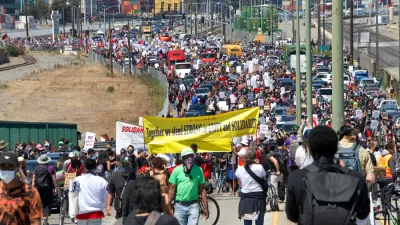
New York City has opened an increasing number of street miles for pedestrians and people on bikes, but far fewer streets have been opened in the neighborhoods that need it most—low income neighborhoods lacking walkable access to parks and open space.

"Public space for social distancing is hard to find in many of New York City’s low-income neighborhoods," reports Clayton Guse.
That conclusion is made possible by a map published recently by the Trust for Public Land. "The map reveals inequities in Mayor de Blasio’s move to open up 30 miles of streets for pedestrians during the coronavirus pandemic," according to Guse.
The map overlays the open streets opening in New York City, overlaid on a map of walkable proximity to park and open space. "Neighborhoods like Brownsville in Brooklyn and Elmhurst in Queens contain large swaths that are more than a 10-minute walk from an open public park," explains Guse. "But parts of those neighborhoods have been left out of the city’s plan to ban cars from some streets as a relief valve for people on foot."
On May 22, a day after the TPL map was published, New York City announced 13 new miles of open streets and claimed to have the most miles of open streets of any city in the country, according to an article by Gersh Kuntzman.
FULL STORY: De Blasio’s move to open NYC street to pedestrians leaves out low-income neighborhoods, map shows

How Oakland Is Fixing its Pandemic Planning Equity Problem
The Oakland Slow Streets program, one of the most controversial developments of the early pandemic, has evolved to become the Essential Places initiative, thanks to new planning practices and a commitment to equity in Oakland, California.
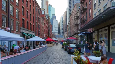
New York Outdoor Dining, Open Streets Programs Now Permanent
New York City will now be measurably less car-centric for the indefinite future.
Pandemic Planning Must Reconcile With the Inequities of the Past
The ongoing debate about the role of marginalized communities in the emergency planning programs of the pandemic has now been detailed on the pages of the New York Times.

Alabama: Trump Terminates Settlements for Black Communities Harmed By Raw Sewage
Trump deemed the landmark civil rights agreement “illegal DEI and environmental justice policy.”

Planetizen Federal Action Tracker
A weekly monitor of how Trump’s orders and actions are impacting planners and planning in America.

Why Should We Subsidize Public Transportation?
Many public transit agencies face financial stress due to rising costs, declining fare revenue, and declining subsidies. Transit advocates must provide a strong business case for increasing public transit funding.

Understanding Road Diets
An explainer from Momentum highlights the advantages of reducing vehicle lanes in favor of more bike, transit, and pedestrian infrastructure.

New California Law Regulates Warehouse Pollution
A new law tightens building and emissions regulations for large distribution warehouses to mitigate air pollution and traffic in surrounding communities.

Phoenix Announces Opening Date for Light Rail Extension
The South Central extension will connect South Phoenix to downtown and other major hubs starting on June 7.
Urban Design for Planners 1: Software Tools
This six-course series explores essential urban design concepts using open source software and equips planners with the tools they need to participate fully in the urban design process.
Planning for Universal Design
Learn the tools for implementing Universal Design in planning regulations.
Caltrans
Smith Gee Studio
Institute for Housing and Urban Development Studies (IHS)
City of Grandview
Harvard GSD Executive Education
Toledo-Lucas County Plan Commissions
Salt Lake City
NYU Wagner Graduate School of Public Service