


Liberty Street was once a narrow, urban street. Now it's seven lanes of unsafe speeds and pedestrian risks. The city has a plan to greatly reduce the number of traffic lanes on the street, or another plan that won't.
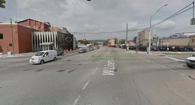
"A years-in-the-making redesign of Liberty Street -- one of Cincinnati's most vital and heavily-traveled roads -- might have taken one step closer to reality this week," reports Pat LaFleur.
Or not. There is plenty of reason to be skeptical about the likelihood of the project ever reaching completion, according to LaFleur. Local residents have been calling for the road diet to reduce speeds and increase safety for all users for years. According to data from the Cincinnati Police Department, Liberty Street has seen 1,700 traffic collisions since 2013, 30 involving pedestrians.
The city is currently considering two plans for the seven-lane street. One is the "road diet" configuration, which would shrink the road to five vehicle travel lanes. That alternative has support from a supermajority of Cincinnati councilmembers. The other planwould preserve all seven vehicle travel lanes, but add bump-outs at six intersections along the street. That plan has the support of Mayor John Cranley.
"The biggest conflict still stirring among lawmakers centers around what is a perpetual challenge for Over-the-Rhine: on-street parking," according to LaFleur. "Cranley's argument -- as well as several speakers at Monday's hearing -- is that the neighborhood cannot afford to lose all-day on-street parking."
FULL STORY: Will Liberty Street ever get its 'road diet'?

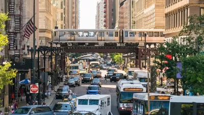
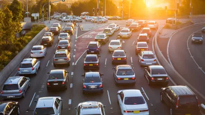
Planning for Congestion Relief
The third and final installment of Planetizen's examination of the role of the planning profession in both perpetuating and solving traffic congestion.
How Planning Fails to Solve Congestion
Solutions for congestion are never as simple and easy as armchair planners and engineers would like you to believe—especially those who suggest that congestion can be solved by forever building more roadway capacity.
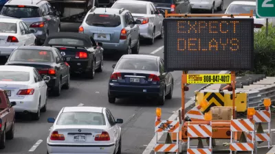
Planning and the Complicated Causes and Effects of Congestion
What do planners know about congestion, and what can they do about it? Explanations and solutions are less obvious than they seem (part one of a three-part series).

Study: Maui’s Plan to Convert Vacation Rentals to Long-Term Housing Could Cause Nearly $1 Billion Economic Loss
The plan would reduce visitor accommodation by 25,% resulting in 1,900 jobs lost.

North Texas Transit Leaders Tout Benefits of TOD for Growing Region
At a summit focused on transit-oriented development, policymakers discussed how North Texas’ expanded light rail system can serve as a tool for economic growth.

Why Should We Subsidize Public Transportation?
Many public transit agencies face financial stress due to rising costs, declining fare revenue, and declining subsidies. Transit advocates must provide a strong business case for increasing public transit funding.

How to Make US Trains Faster
Changes to boarding platforms and a switch to electric trains could improve U.S. passenger rail service without the added cost of high-speed rail.

Columbia’s Revitalized ‘Loop’ Is a Hub for Local Entrepreneurs
A focus on small businesses is helping a commercial corridor in Columbia, Missouri thrive.

Invasive Insect Threatens Minnesota’s Ash Forests
The Emerald Ash Borer is a rapidly spreading invasive pest threatening Minnesota’s ash trees, and homeowners are encouraged to plant diverse replacement species, avoid moving ash firewood, and monitor for signs of infestation.
Urban Design for Planners 1: Software Tools
This six-course series explores essential urban design concepts using open source software and equips planners with the tools they need to participate fully in the urban design process.
Planning for Universal Design
Learn the tools for implementing Universal Design in planning regulations.
Ascent Environmental
Borough of Carlisle
Institute for Housing and Urban Development Studies (IHS)
City of Grandview
Harvard GSD Executive Education
Toledo-Lucas County Plan Commissions
Salt Lake City
NYU Wagner Graduate School of Public Service