


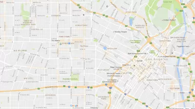
Google starts charging for its maps, and an open source alternative -- with support from Microsoft -- begins to challenge Google's dominance.
OpenStreetMap is an open source wiki of maps and location data, much like Wikipedia is a wiki of information you find in an encyclopedia.
"In what seems to have been a surprise to everyone, the prices that Google asked of its heaviest Maps users apparently dwarf the revenue of at least some of those sites, which is leading to a very public move away from Google and to OpenStreetMap," writes author Christian Mims.
"Some areas, particularly in Europe, where contributing to OpenStreetMaps is something of a craze, its maps are updated more frequently than Google's maps, and contain vastly more detail."
The video above (produced by itoworld.com) shows edits made to OpenStreetMap in 2008 from contributors around the world.
FULL STORY: 'Wikipedia of Maps' Challenges Google


Google Expands Wheelchair Access Mapping
Offering prizes and status, Google wants to motivate Maps users to add information about wheelchair accessibility.
Google Maps' 'Interesting' New Feature
Google's new maps redesign calls out areas of interest, but is "interesting" just a euphemism for rich?
Visualizing the Spread of the OpenStreetMap Project
OpenStreetMap has released an animated map to illustrate the impressive growth of the project over the first ten years of its existence.

Alabama: Trump Terminates Settlements for Black Communities Harmed By Raw Sewage
Trump deemed the landmark civil rights agreement “illegal DEI and environmental justice policy.”

Study: Maui’s Plan to Convert Vacation Rentals to Long-Term Housing Could Cause Nearly $1 Billion Economic Loss
The plan would reduce visitor accommodation by 25% resulting in 1,900 jobs lost.

Planetizen Federal Action Tracker
A weekly monitor of how Trump’s orders and actions are impacting planners and planning in America.

Waymo Gets Permission to Map SF’s Market Street
If allowed to operate on the traffic-restricted street, Waymo’s autonomous taxis would have a leg up over ride-hailing competitors — and counter the city’s efforts to grow bike and pedestrian on the thoroughfare.

Parklet Symposium Highlights the Success of Shared Spaces
Parklets got a boost during the Covid-19 pandemic, when the concept was translated to outdoor dining programs that offered restaurants a lifeline during the shutdown.

Federal Homelessness Agency Places Entire Staff on Leave
The U.S. Interagency Council on Homelessness is the only federal agency dedicated to preventing and ending homelessness.
Urban Design for Planners 1: Software Tools
This six-course series explores essential urban design concepts using open source software and equips planners with the tools they need to participate fully in the urban design process.
Planning for Universal Design
Learn the tools for implementing Universal Design in planning regulations.
Caltrans
Smith Gee Studio
Institute for Housing and Urban Development Studies (IHS)
City of Grandview
Harvard GSD Executive Education
Toledo-Lucas County Plan Commissions
Salt Lake City
NYU Wagner Graduate School of Public Service